GIS Consulting
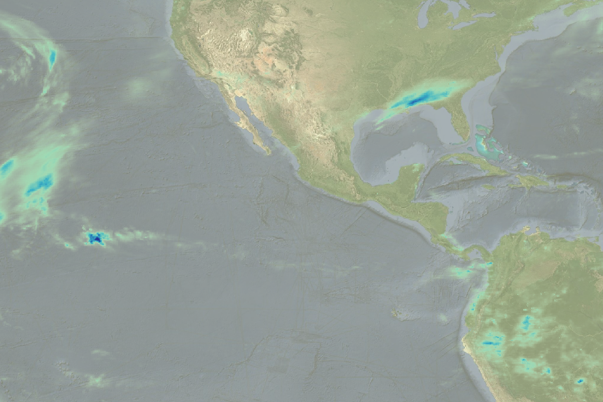
/Water cycle, commercial activities, ecosystem interaction and other physical process in our environment are spatially distributed. In order to analyse and evaluate current conditions and future scenarios we need Geographical Information Systems (GIS) to connect your data with its position.
Hatarilabs develop different solutions on based on GIS for environmental studies, land cover evaluation, precision agriculture, resources management, climate change impact and others.
Contact us
Address: Av. Caminos del Inca 288 dpto 302.
Santiago de Surco - Lima
Tel: +511 4491922
Cel (Whasapp): +51 984115865
Email: saulmontoya@hatarilabs.com
Solutions
We provide numerical model in these areas:


