
Hatari Labs
Contact us:
Coming soon:
Featured

Hatarilabs presents its educational program designed for mastering Python in real professional and academic environments. The program has an extensive practical work that goes from the basic concepts of Python, Numpy and Pandas to specific applications in water resources and geosciences coupled with geospatial analysis and machine learning.
Recommended courses:

Course of Groundwater Modeling in Mining with MODFLOW6, Flopy and mf6Voronoi

Course of Groundwater Modelling using MODFLOW 6 and Model Muse

Course of Applied Hydrological Modeling with HEC-HMS

Course of Applied Geochemical Modeling with Phreeqc and Python

Course of Automatic MODFLOW6 Model Calibration with PEST and Model Muse
Featured

We have designed a complete program on MODFLOW with Model Muse that ranges from the essential topics in flow and transport modeling to applied cases of regional modeling, infrastructure projects, and seawater intrusion. MODFLOW with Model Muse is a recent open-source software that provides various tools for simulating the groundwater flow regime in different environments.

This program is designed to provide systematical learning from the most basic and general topics to intermediate and advanced topics, allowing the student to understand the various steps in developing hydrological models using the SWAT+ interface for QGIS. This program has a series of theoretical and practical concepts that allow the student to process spatial data, manage meteorological databases, build hydrological models, develop sensitivity analyses, and perform manual and automatic calibrations using versatile tools such as SWAT+ Toolbox, SQLite, and Python.

ONLINE COURSES:
Featured

Phreeqc is a software developed by the USGS written in C++ capable of modeling a variety of aqueous geochemical processes such as mixing of waters, modeling equilibrium between solid and aqueous phase, modeling impact of temperature, calculation of element concentration among others.
Hatarilabs has developed an applied and unique course of Phreeqc integrated with Python undes a class (object type) that can run, parse and provide Phreeqc output as Pandas dataframes and integrate it to plots and further analysis with other Python libraries on a Jupyter notebook.

HEC-RAS is a software designed to perform hydraulic 1D and 2D calculations on river channels either natural or man constructed. It allows steady flow, unsteady flow, sediment transport and water quality modelling. It is developed by the US army corps of engineers, US Department of defence and it is openly available software. The HEC-RAS steady flow is based on one dimensional energy equation, while for the unsteady flow, HEC-RAS uses an implicit, finite difference method to solve the fully dynamic Saint-Venant equations.
The objective of HEC-RAS is to solve river dynamics and river engineering problems. Applications are delimitation of flood areas, embankment and protection work design, river restoration, emergency plans for dam break, optimization of hydraulic work and risk assessment and management.

This course develops the main functions and applications of the latest version of the MODFLOW 6 groundwater modeling code through the ModelMuse interface, both developed by the United States Geological Survey (USGS). This version includes innovative tools for the construction and simulation of hydrogeological models, mainly highlighting the incorporation of the discretization option for discretized by vertices grids.

The development of machine learning and geospatial libraries in Python as Scikit Image, Rasterio and Fiona gave us a new range of tools to analyze vegetation from traditional sources as satellite imagery and new sources as drone orthophotos. The appliance of Python programming for crop identification depends on many factors such as the image resolution, the vegetation stage and even the algorithm setup.
We have developed a course crop identification / delineation with geospatial and machine learning tools of Python, the course is aimed to GIS or related professionals that have basic Python knowledge. The course covers the introductory concepts of the geospatial libraries and a series of machine learning applications for crop indentification in olive trees, palms, agave and corn fields.
Note:
This course is for professionals with previous knowledge of Python. Basic concepts of Python programming will not be covered in the lessons and course material. In case you don’t have any knowledge of Python, we recommend you to take this online course.

The Hydrologic Modeling System (HEC-HMS) is a free program developed by the US Corps of Engineers that implements a series of hydrological methods to represent different physical processes of the water cycle.
HEC-HMS also includes procedures necessary for continuous simulation including evapotranspiration, infiltration, hydrological routing and soil moisture accounting. The tools and options of HEC HMS make it a very versatile and powerful software for the hydrological simulation of different scenarios such as extreme events in arid regions, or water balances in wet climates.
Hatarilabs offers the online course of Hydrological Modeling with HEC-HMS for students and professionals of any country. The course is focused on theory and practical to know the different HEC-HMS tools and its application to the hydrological modeling.

Hatarilabs offers the online course of Hydrological Modeling with QSWAT for students and professionals of any country. The course is focused on the acquisition and preprocessing of data for SWAT+ using QGIS 3.4 for develop hydrological watershed modeling.

This course covers the whole procedure of developing regional groundwater models through the ModelMuse interface, including the model construction, boundary conditions, parameter assignment, model simulation, results analysis and visualization, and model calibration. Flopy is also introduced in the course to import, create, refine and simulate the model as in ModelMuse. Two basins with different aquifer setting and boundary conditions are used as case studies to demonstrate the use of these tools so that the participants learn how to build these models and analyze the results for future decision-making.

Evaluation of long term impacts of the mining activity is a key topic on the public concern and regulatory and sustainability policies. Due to the scale of the mining projects and the different related activities, impacts could be made to several parts of the physical environment. Groundwater modeling is a useful tool for the simulation of mine closure impacts to the groundwater flow system and groundwater quality. Hatarilabs has developed an applied course about the simulation, calibration, representation and impact analysis of a waste dump closure on the environment and water bodies with a long term scope (closure and post closure). The course will be given on Model Muse for flow and contaminant transport modeling and scripts in Flopy for model calibration, water balance analysis and evaluation of remediation techniques performance.

This course is focused on how to use the different packages related to numerical tools, data analysis, representation of graphs, and others. Many of these tools are applicable to the field of Hydrology in the preparation of data for hydrological models, statistical analysis of hydrological parameters and model result representation.

Graphical user interfaces (GUIs) are commonly used to construct and post-process numerical groundwater flow. Flopy is the Python library that builds and executes MODFLOW models; this library has tools and options for the complete geo-referencing of a MODFLOW model.
Python is a simple and powerful programming language; its simplicity is remarkable compared to other programming languages and its power is based on the number of tools available for different areas of study.
Use of Python with the available scientific packages and FloPy, facilitates data exploration, alternative model evaluations and model analyses that can be difficult to perform with GUIs. One advantage of Flopy and Python is that there are many packages available to facilitate the model development process, including packages for plotting, array manipulation, optimization, and data analysis.
This course allows acquired knowledge of the open source programming language to construct model input files, run the model, and read and plot simulation results.
LATEST POSTS
Latest Posts
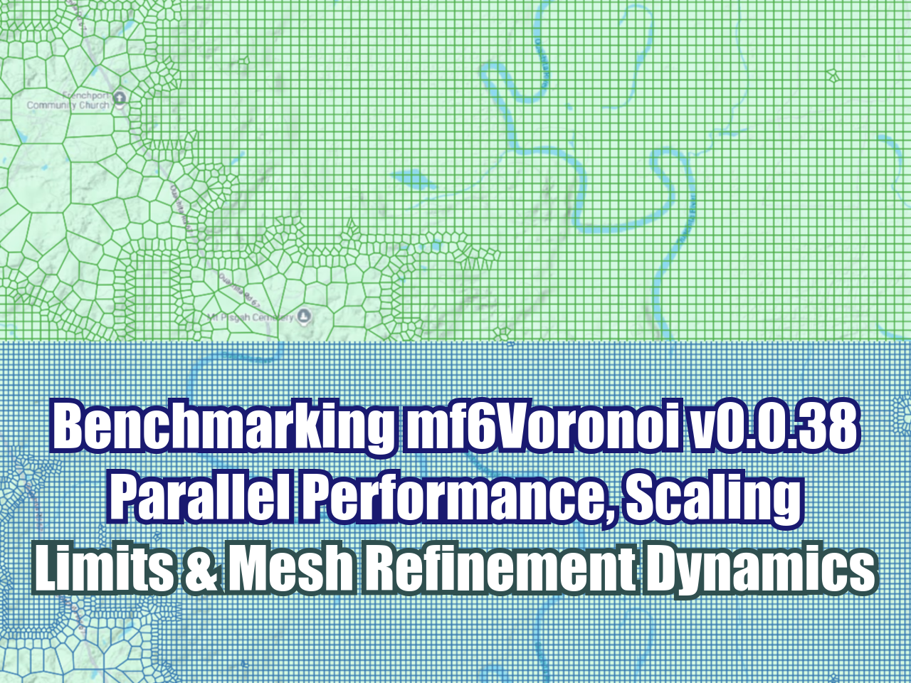
With the upcoming release of mf6Voronoi v0.0.38, optimizing mesh generation workflows remains a top priority. Constructing complex unstructured Voronoi grids for MODFLOW 6 can become computationally intensive as spatial resolution increases. To address this challenge, parallel execution capabilities were introduced into mf6Voronoi leveraging dask-geopandas.
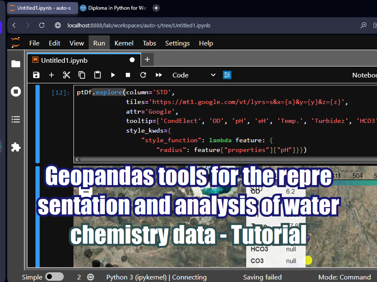
This tutorial explores a powerful interactive GeoPandas tool that facilitates the visual analysis and representation of water chemistry data. Through this Python workflow, you can display sampling points over satellite imagery and various basemaps, map concentrations using automatic color scales, and adjust marker sizes based on analyzed parameters. This direct integration allows you to customize the variables displayed on hover, streamlining data evaluation for baseline studies or water pollution diagnostics.
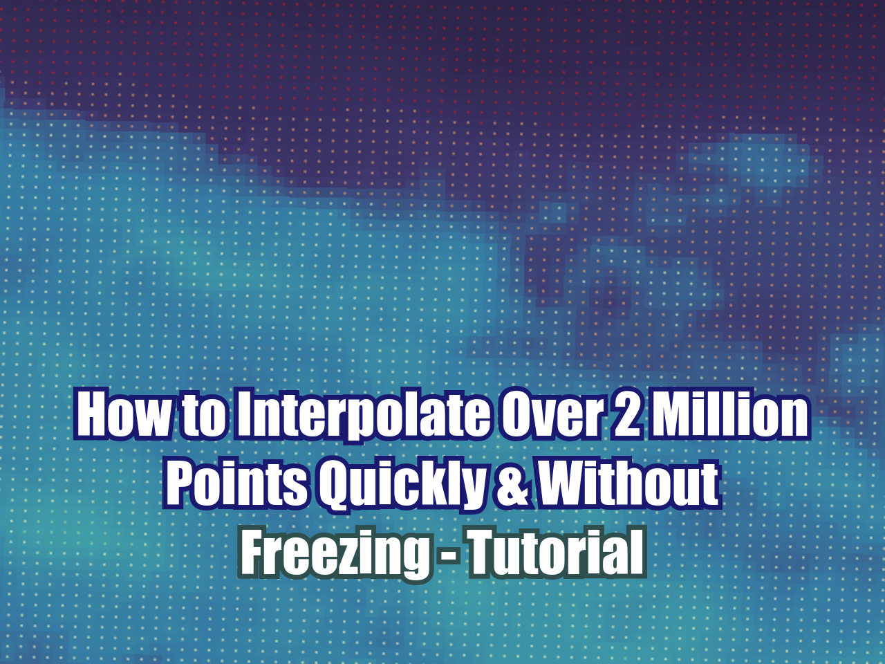
Interpolating large volumes of spatial data through the QGIS graphical interface is often a headache: the process takes too long or, even worse, the program freezes while consuming all system resources. In this tutorial, we will show you how to interpolate nearly 2 million points in less than two minutes using the OSGeo4W Shell and GDAL commands with the IDW method. By creating a virtual layer file (.vrt), you will learn a highly efficient, reliable, and lightweight workflow that enables you to work with millions of data points without being constrained by the limits of the GUI.
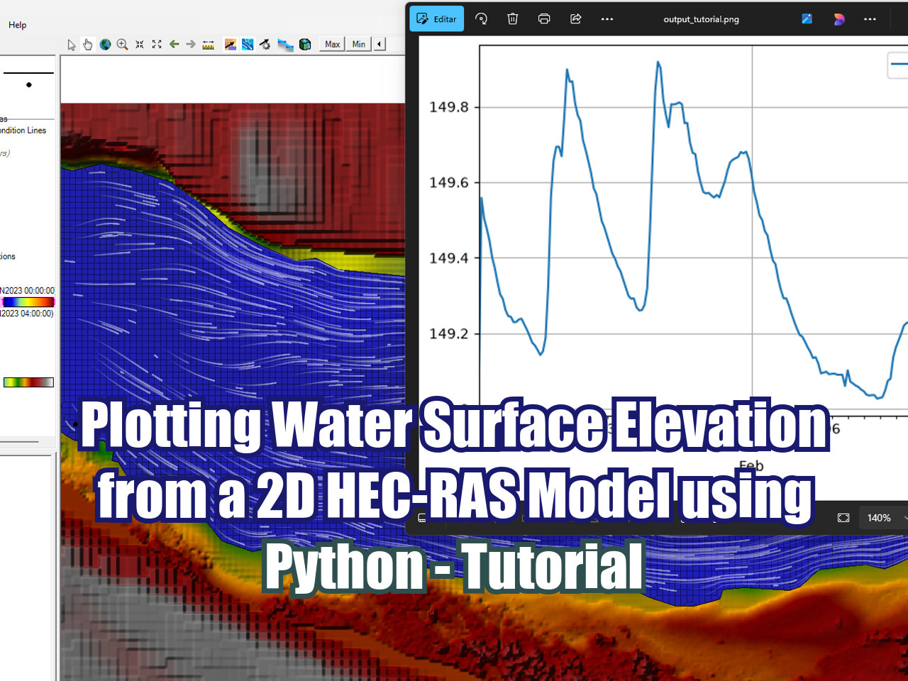
This tutorial demonstrates how to accurately and efficiently extract the water surface elevation at a specific point from a HEC-RAS 2D unsteady flow model using Python in Jupyter Lab. Since water levels vary across the mesh and native software tools can limit automation, the author teaches how to open HDF5 output files (.hdf), load a point shapefile using GeoPandas, and apply a geospatial index K-d tree to locate the nearest computational cell. Finally, the time series data is processed to generate a water level hydrograph, which is essential for hydrogeological model calibration.
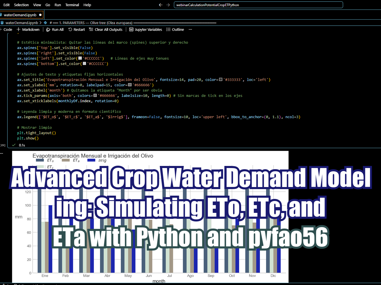
Advanced Crop Water Demand Modeling: Simulating ETo, ETc, and ETa with Python and pyfao56 - Tutorial
estimations of crop water requirements. This applied case offers a deep dive into modeling crop evapotranspiration using the standardized FAO-56 Dual Crop Coefficient methodology, implemented programmatically through Python.
Using a real-world case study of olive cultivation (Olea europaea) in the hyper-arid coastal desert of Bella Unión (Arequipa, Peru), we will demonstrate how to build an end-to-end hydrological data pipeline. Participants will learn how to integrate spatial data, process satellite-derived and weather station climate parameters, define soil-water-crop constraints, and simulate complex deficit drip-irrigation schedules.
SEARCH
No results found



Follow Us
Join us on social media for the latest webinars, tutorials and courses.
 |
 |
 |
 |
 |
 |
FloPy is the Python library that builds and executes MODFLOW models; this library has been enhanced to provide full support of MODFLOW 6 with most of its recent development is related to functionality for MODFLOW 6, tools to use vector and raster spatial data and common plotting and export functionality.