

Geological Modeling of Sedimentary Layers from Geospatial Data with Python and Aquifer App - Tutorial
/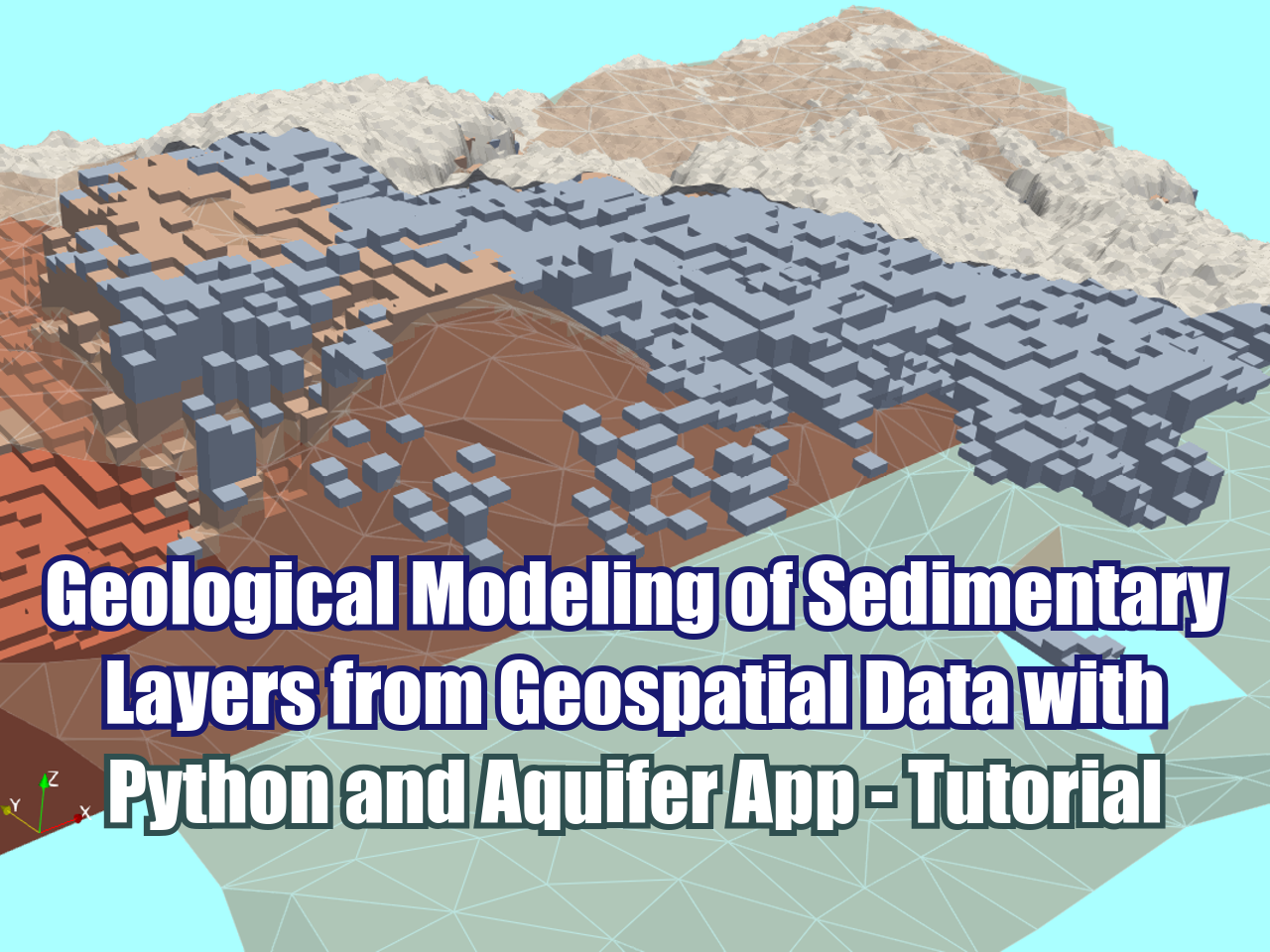
A practical example for constructing a geological model using Python and Aquifer App, based on geospatial data in ESRI Shapefile format and raster data in Tiff format. The tutorial demonstrates the complete procedure of spatial data processing using libraries such as Geopandas, Rasterio, and Pyvista to create surface and orientation files, which are then input into Aquifer App. Finally, the project is run locally in Gempy, generating the geometry of lithology and contacts.
Aquifer App link:
Tutorial
Input data
You can download the input data from this link.


