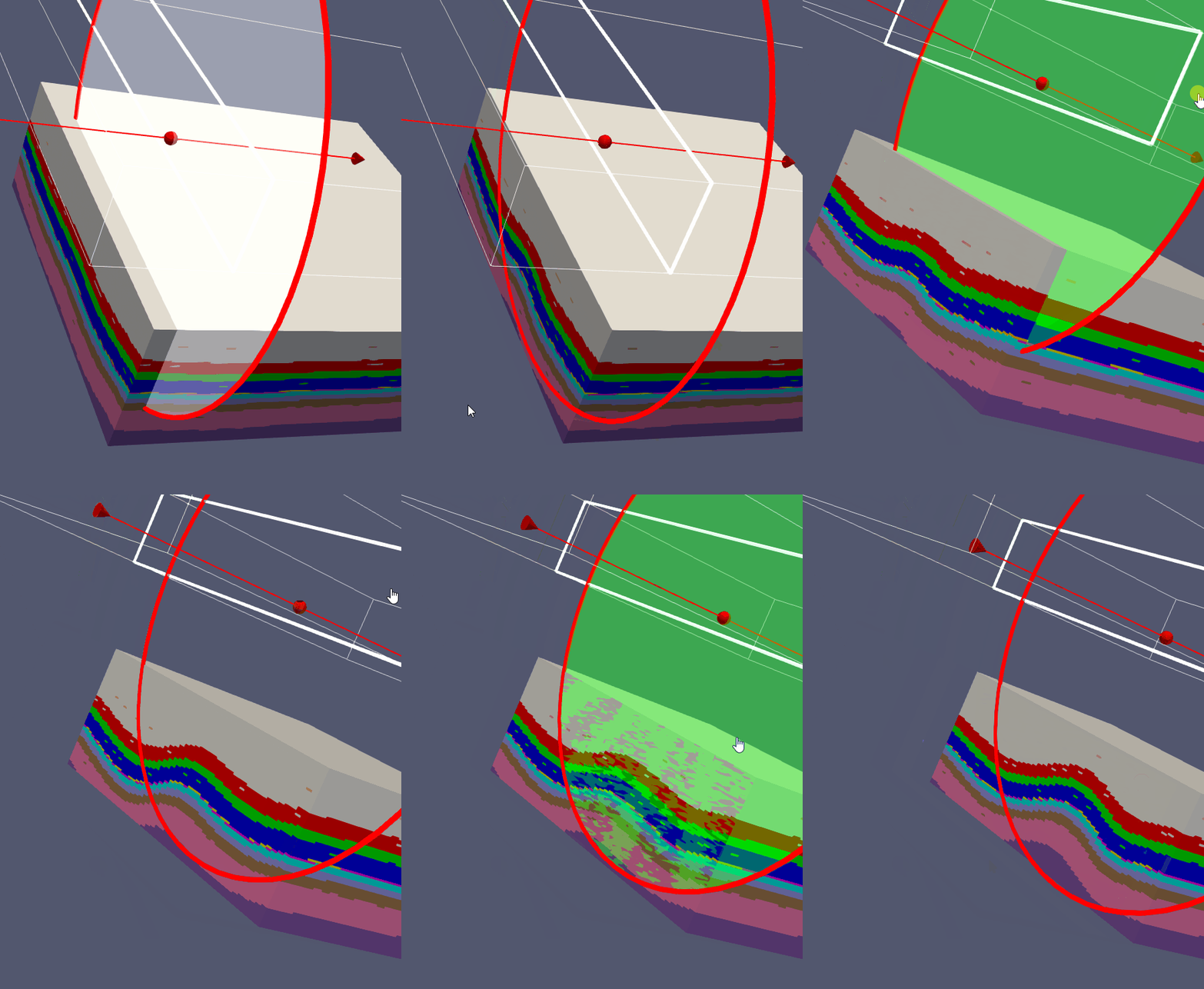
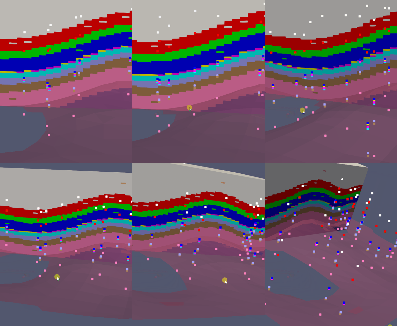
Aquifer App offers a friendly, clean and powerful way to create Gempy scripts for geological modeling. We have developed an applied case of a 3D petroleum system model for a part of the Williston Basin, USA that contains the Nesson Anticline. Top layer information was provided as raster format where elevation and orientation for random points were extracted with Python codes using the Gemgis package and exported in Gempy input file format. On Aquifer App the processed CSV files were inserted and the geological model was set up with the corresponding geological sequence.
Due to the intensive computational requirements, the geological model was exported from the platform to be run locally and the generated Vtks for lithology and surfaces are analyzed together with the input data in Paraview.
Visualization
Geological model visualization in Paraview


Instructor
Saul Montoya M.Sc
Hydrogeologist - Numerical Modeler
Mr. Montoya is a Civil Engineer graduated from the Catholic University in Lima with postgraduate studies in Management and Engineering of Water Resources (WAREM Program) from Stuttgart University – Germany with mention in Groundwater Engineering and Hydroinformatics. Mr Montoya has a strong analytical capacity for the interpretation, conceptualization and modeling of the surface and underground water cycle and their interaction. He is in charge of numerical modeling for contaminant transport and remediation systems of contaminated sites. Inside his hydrological and hydrogeological investigations Mr. Montoya has developed an holistic comprehension of the water cycle, understanding and quantifying the main hydrological dynamic process of precipitation, runoff, evaporation and recharge to the groundwater system.
Event date
Friday, August 2 2024 6:00 p.m. Amsterdam Time
Register
webinars.hatarilabs.com/webinardetail/petroleum-system-modeling-with-gempy-gemgis-and-aquifer-app


