

How to create a Geological Model from a Point Shapefile with Gempy and Aquifer App - Tutorial
/
This is an applied case were we build a geological model only with lithology information stored as a point shapefile. The tutorial covers all steps from raster (array) generation for all surfaces together with the orientation sampling and format of surfaces/orientations as Gempy input files. The generated data was inserted in the Aquifer App that implements an interface to create Gempy models. Finally the lithology and layer surface geometry was exported as Vtk to be represented on Paraview with the initial data to evaluate the accuracy of the simulation.
Tutorial
Steps
These are the main steps of the tutorial.
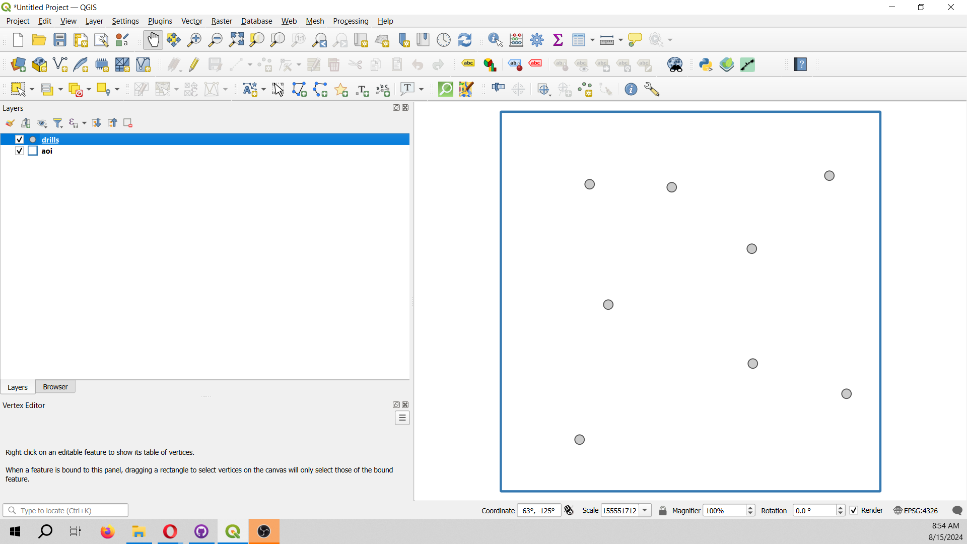
Representation of the drill points and area of interest (AOI) in Qgis:
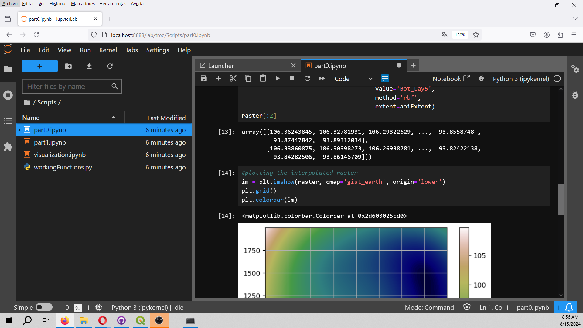
Run raster interpolation from the geological contacts with Gemgis on a Jupyter notebook.
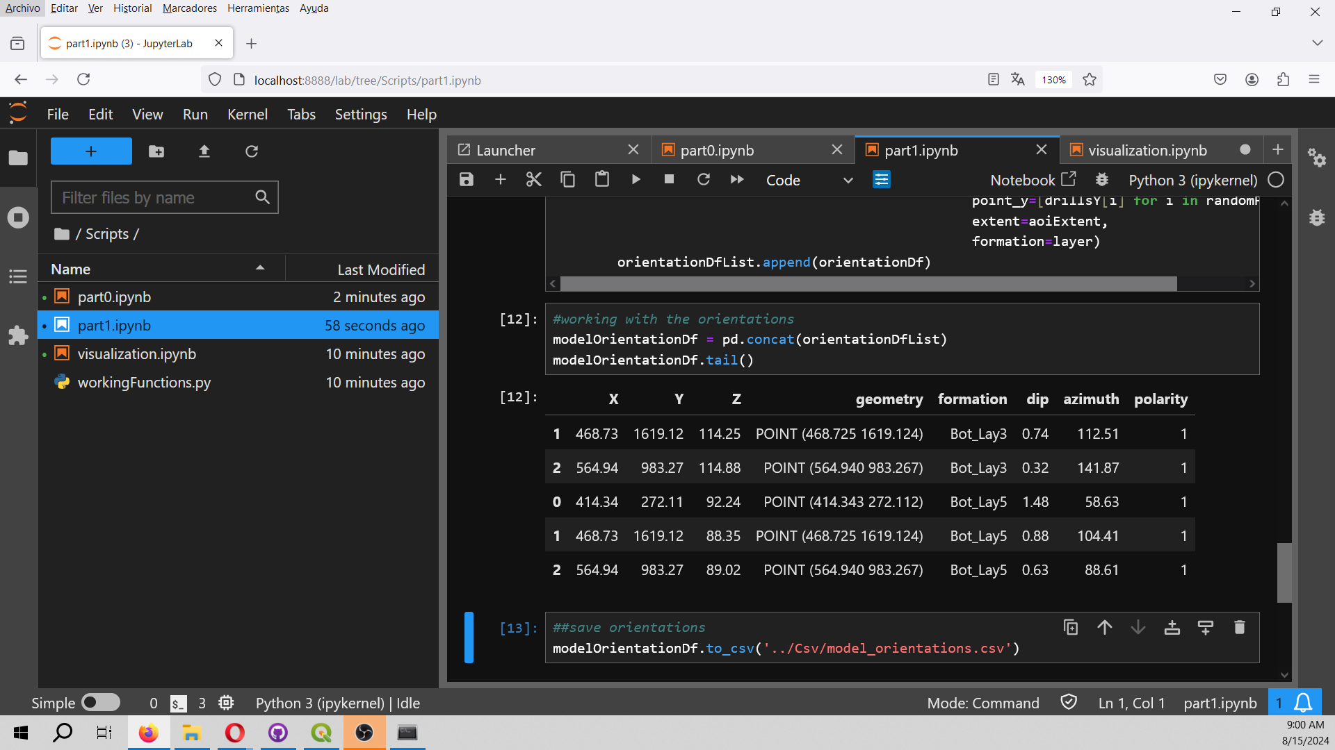
Creation of surface points and sampling orienations as Pandas dataframes.
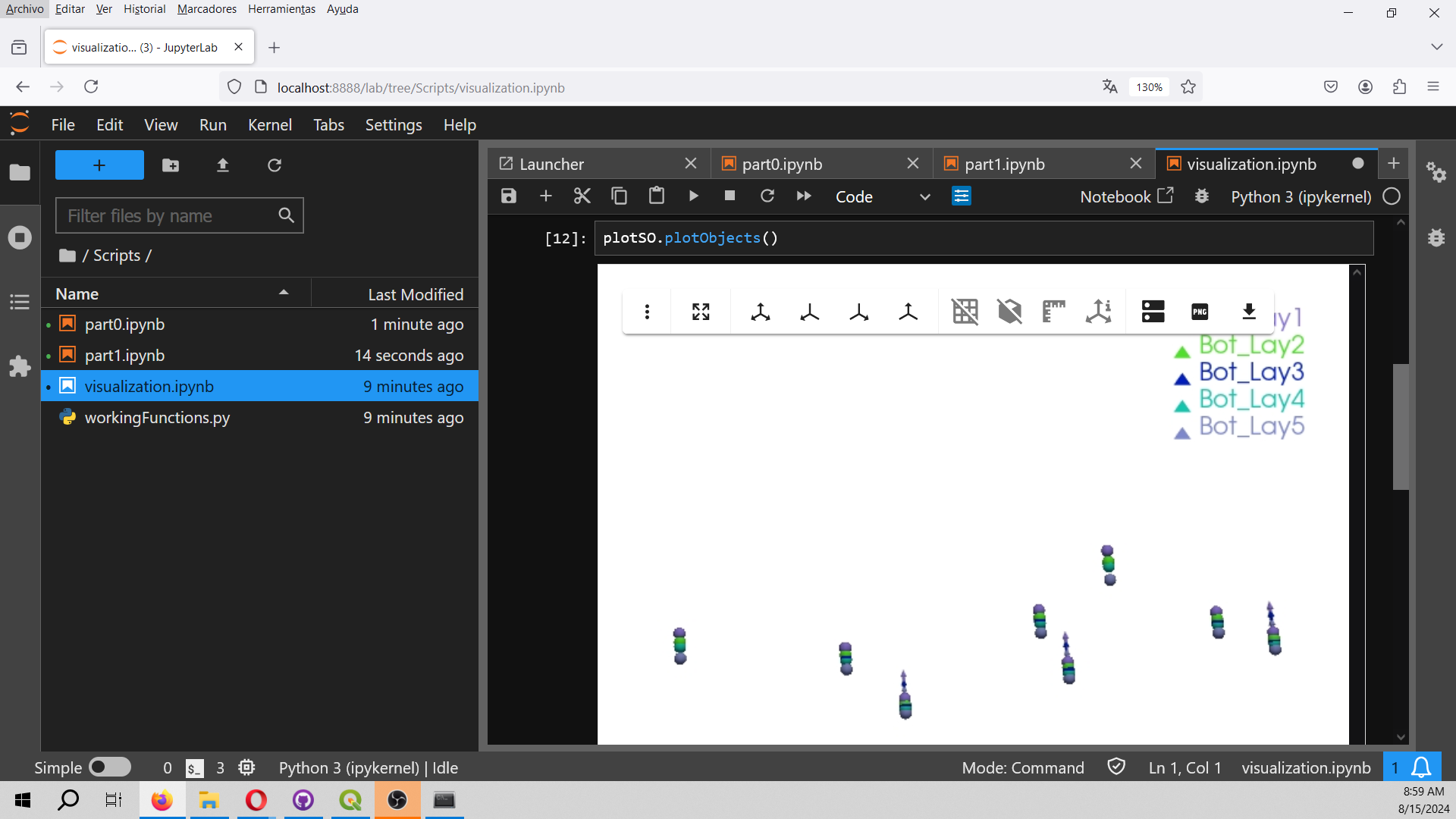
Interactive visualization of the surface points and orientations. This part also export the points on Vtk format.
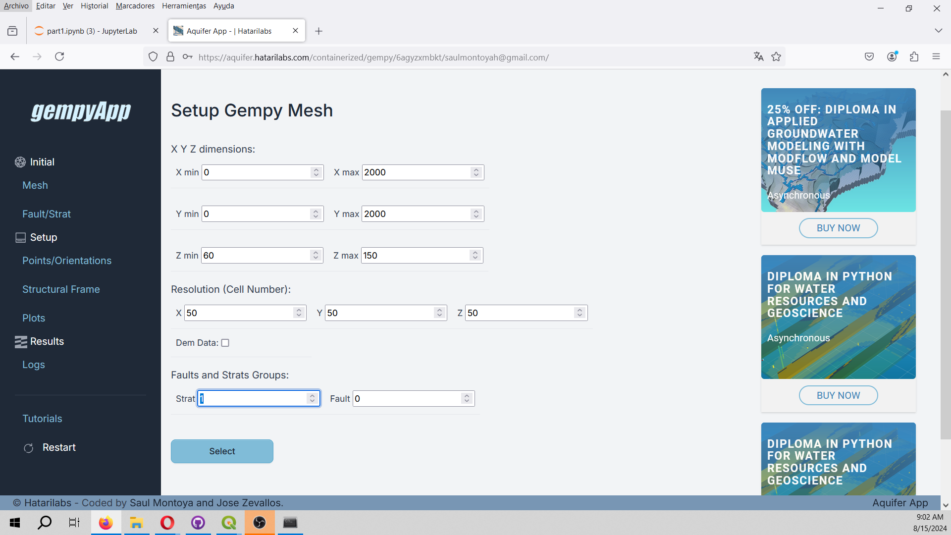
Setup of the geological model in Aquifer App. We insert the model limit as well as some parameters for the geological model.
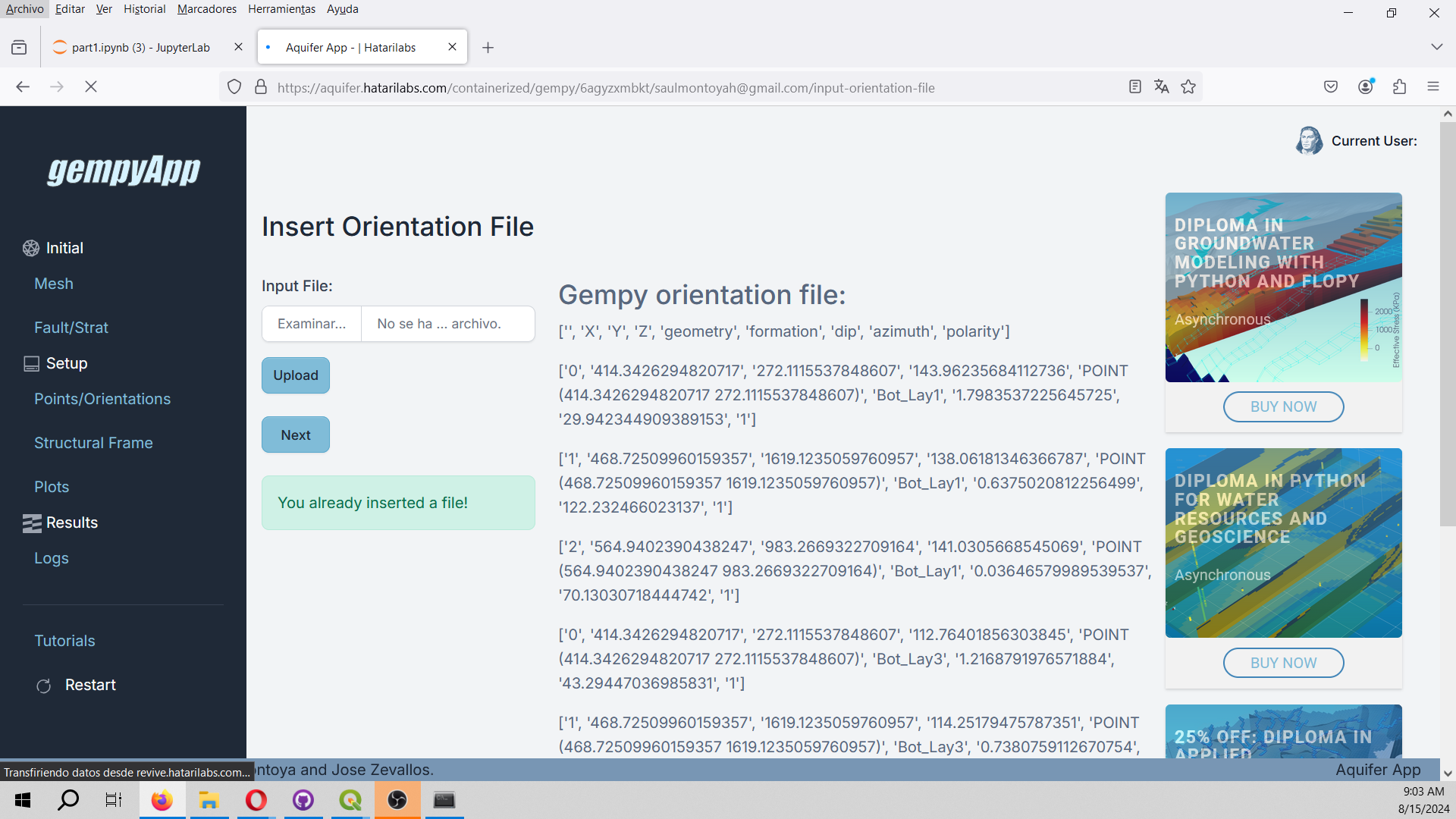
Insert orientations in GempyApp.
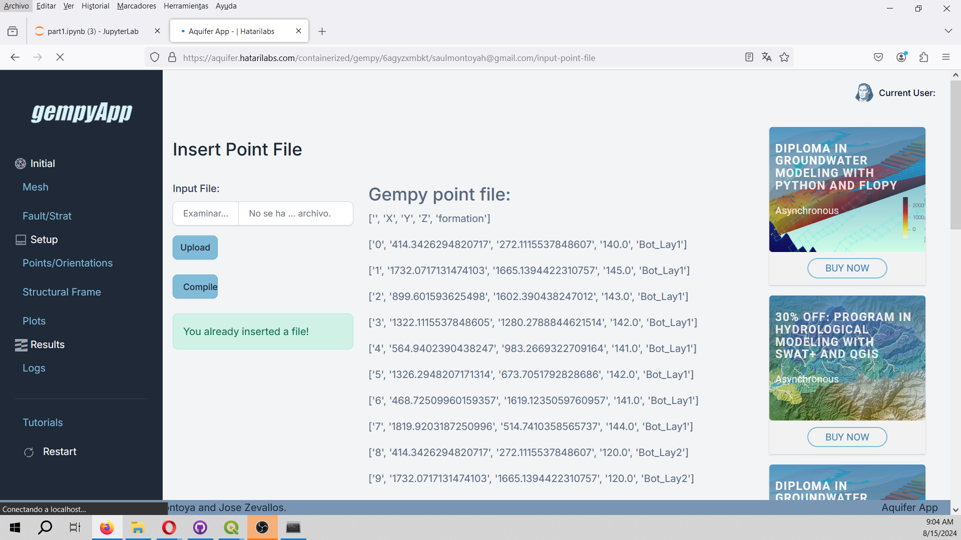
Insert surface points in GempyApp.
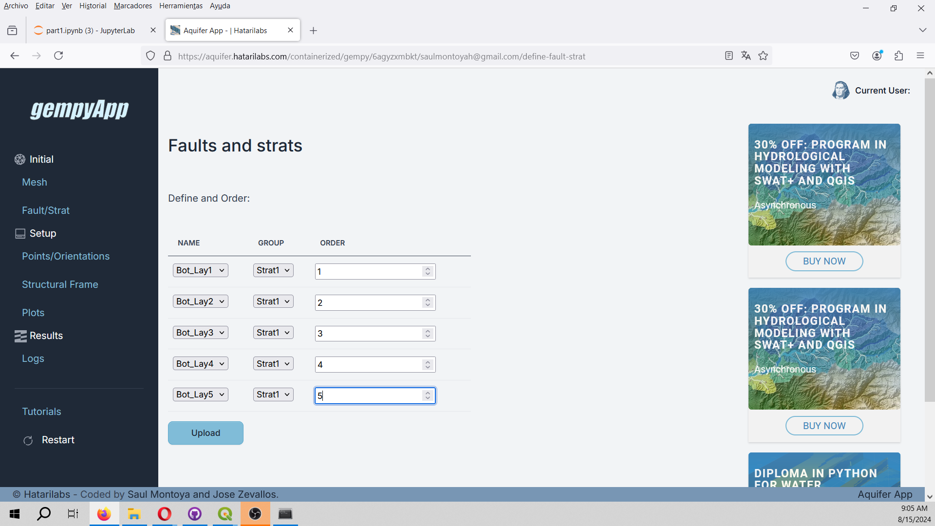
Setup of the geological sequence in GempyApp. We only have one strat group.
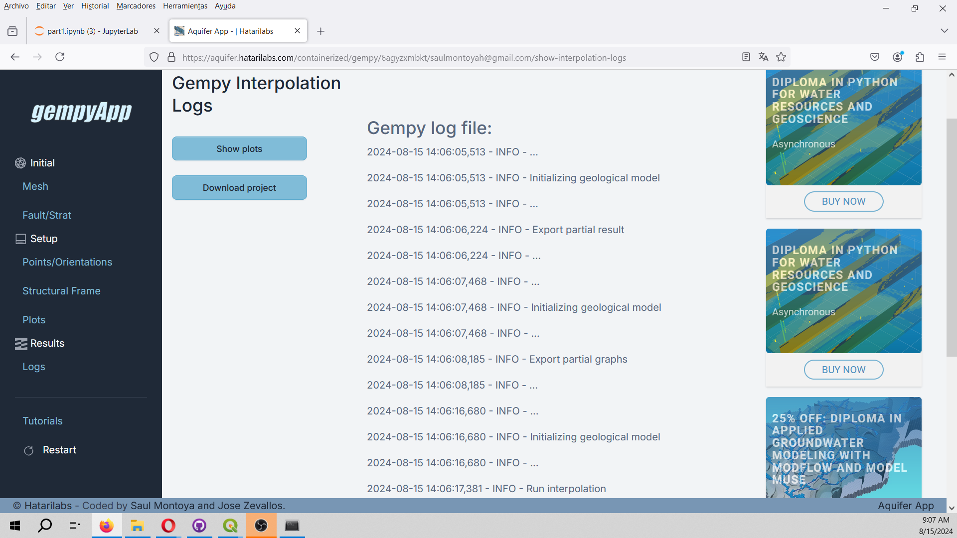
Interpolate the geological model. This step can take several seconds, please reload till the interpolation has finished.

Analyze the outcome of the Gempy run to test the performace of the simulation and file generation.
Show cross sections of the generated model on the X, Y and Z direction.

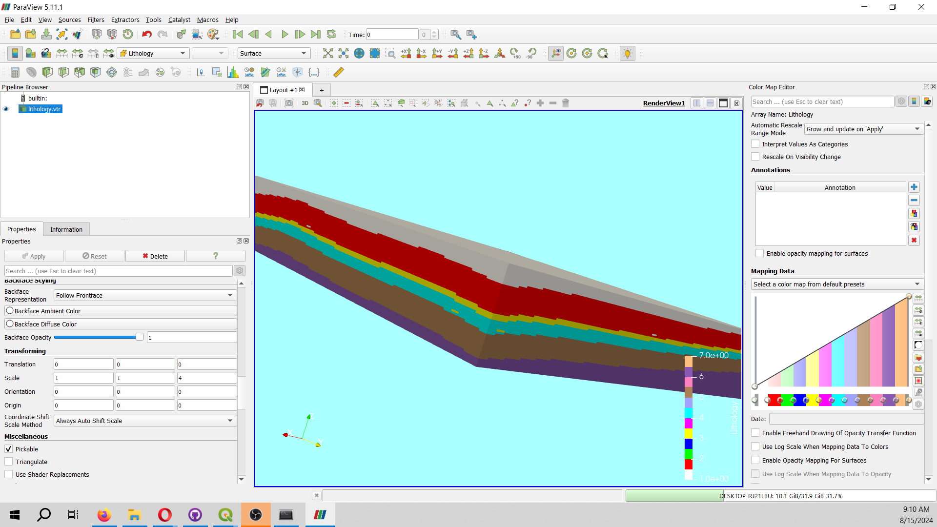
Download the project and plot the generated Vtk for lithology with vertical exaggeration of 4.
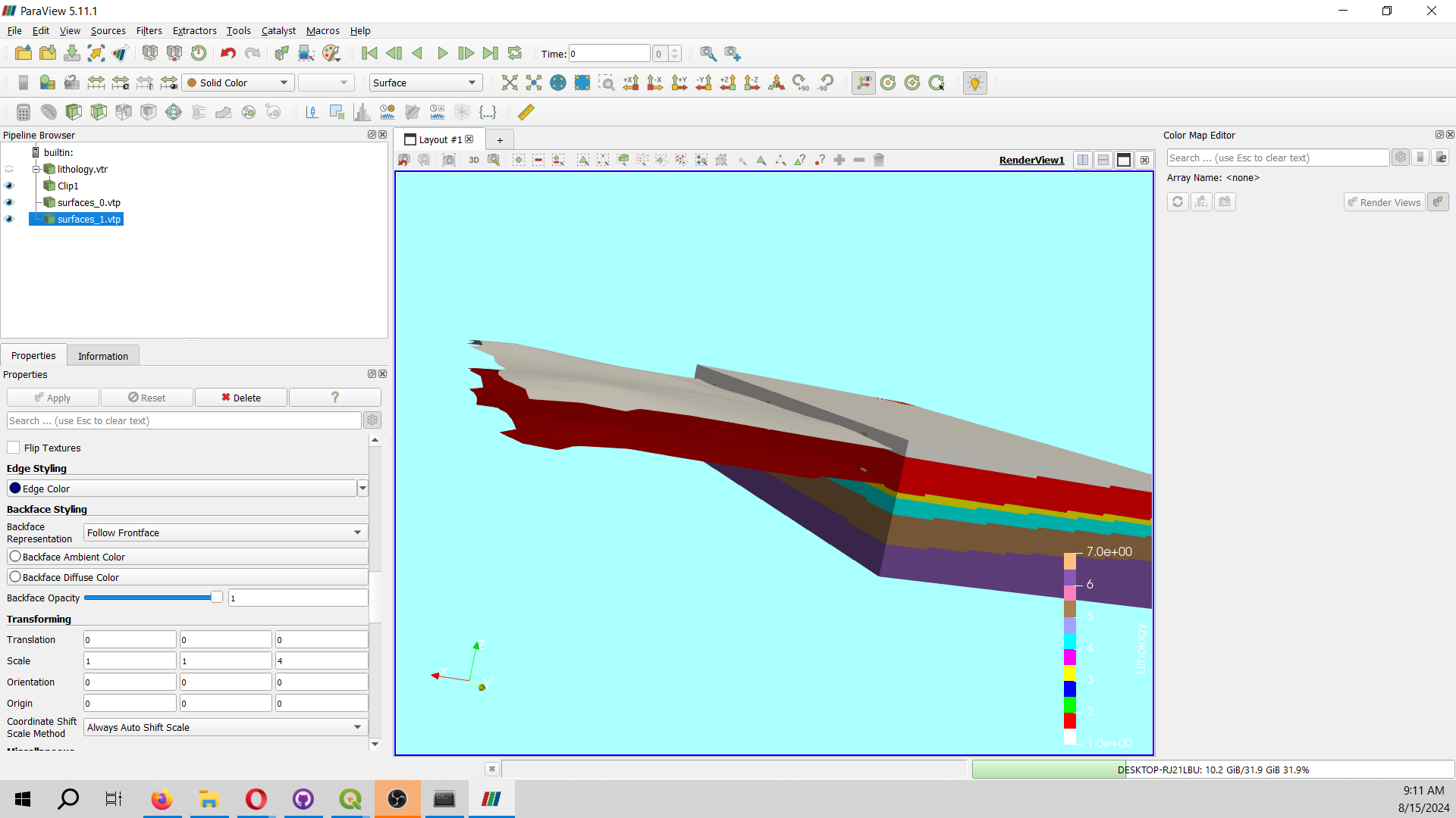
Plot the geological surfaces together with the clipped lithology.
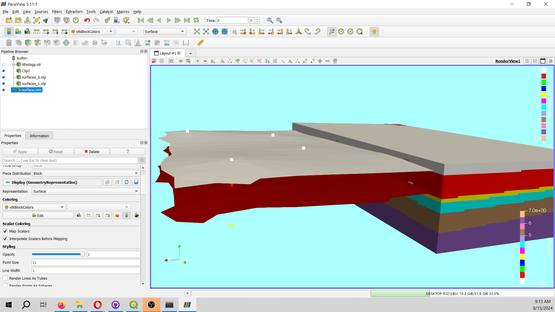
Analize the accuracy of the lithology and geological surfaces with the 3D representation of the point data.
Input data
You can download the input data from this link.


