How to smooth a Aster DEM elevation raster with QGIS 3 - Tutorial
/In developed parts of the world there are online elevation repositories with current and historical elevation data from field surveys, lidar, etc. However, for the rest of the world, the availability of online resources for elevation with adequate resolution are scarce.
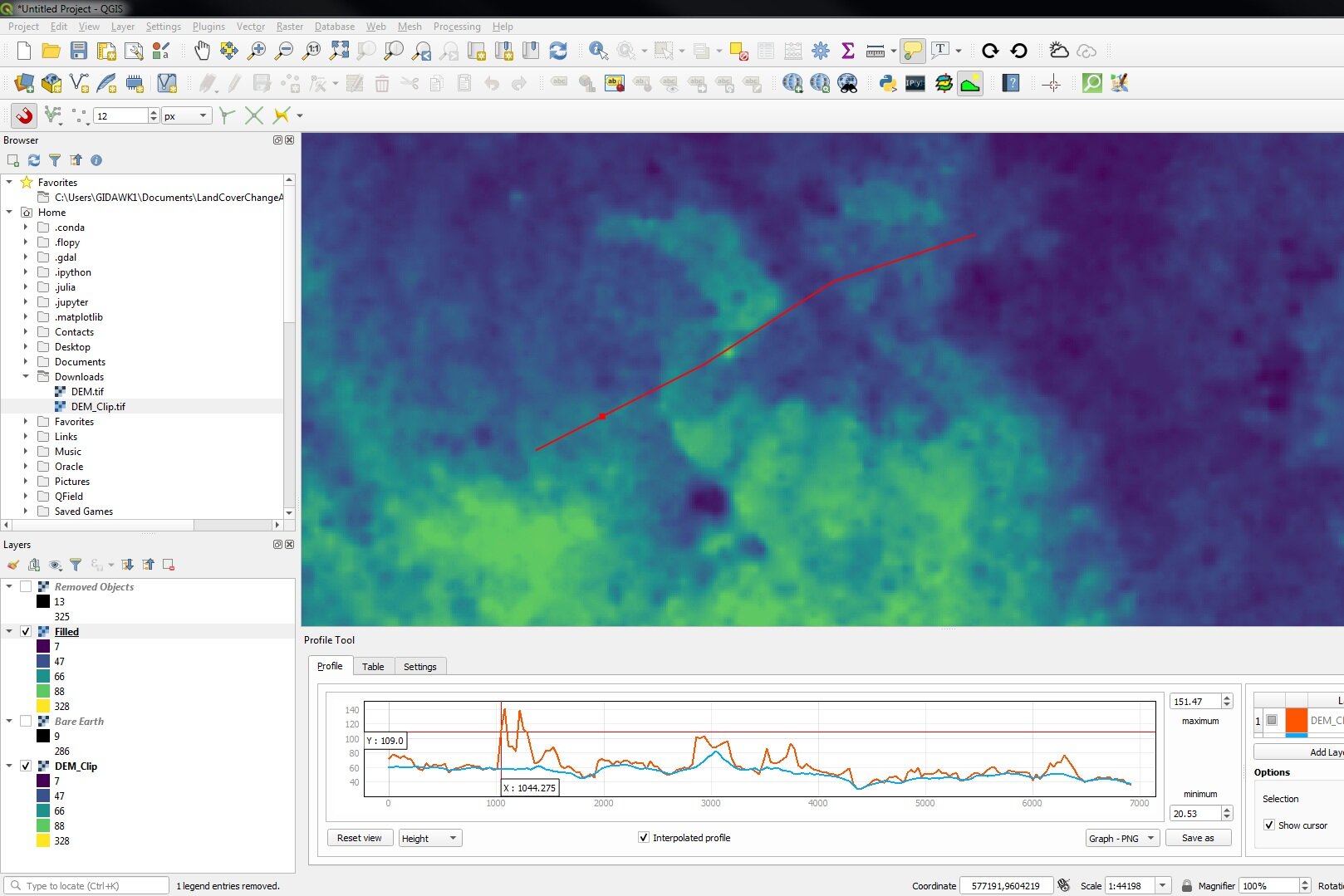
The ASTER Global Digital Elevation Model 1 arc second (ASTGTM v003) is one of the most reliable sources for regional elevation datasets worldwide with a cell resolution of 30m and interpreted from "recent" images (from 2000 to 2013). In flat or vegetated areas the procedure to interpreted elevations face some complexities and the Aster DEM images show some bumps or high elevation spots that are not coherent when contrasting the elevation model with satellite panchromatic images.
This tutorial shows a procedure to smooth the Aster elevation models with standard QGIS 3 tools coupled with Grass and SAGA GIS options on the Processing menu on a practical exercise over a study area. The procedure can be applied to Alos Palsar images or any other noisy elevation raster.
Tutorial
Workflow
The main procedure is done with the following tools from the Processing menu:
From SAGA GIS: Dtm filter (slope-based)
From Grass: r.fillnulls with bilinear interpolation method
Useful links
Aster DEM information: https://lpdaac.usgs.gov/products/astgtmv003
Input data: AsterDemExample


