

Introduction to PyQGIS, the Python environment in QGIS
/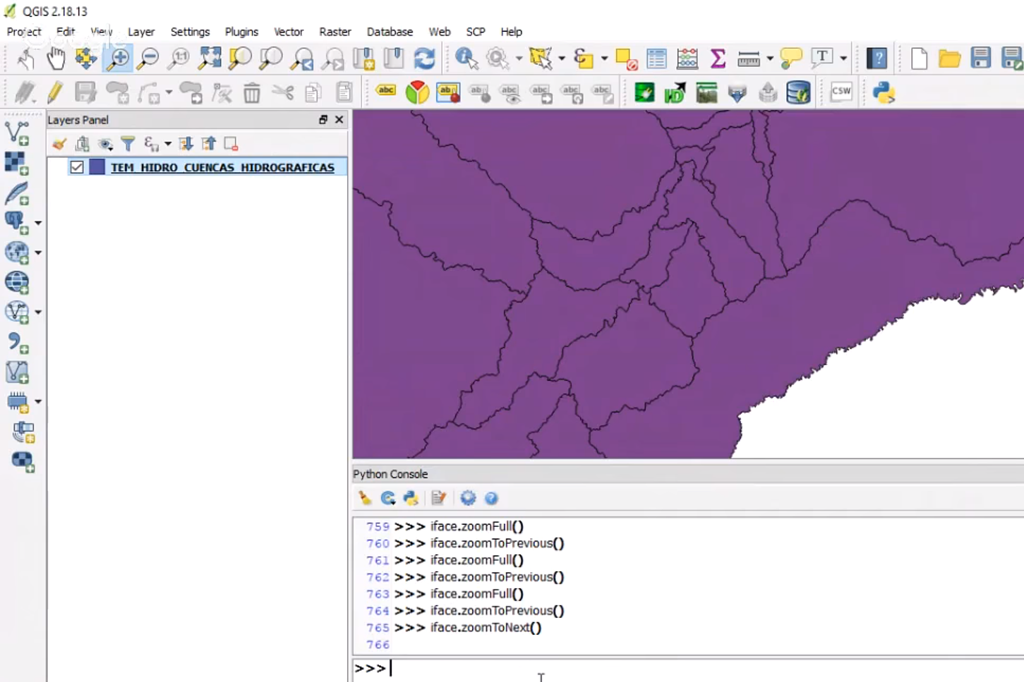
QGIS is a great software for the processing/analysis of spatial data, Python is a clear, powerful programming lenguaje; together they can enhance the spatial analysis to solve more complex or more dedicated problems in less time. PyQGIS is the Python environment inside QGIS with a set of QGIS libraries plus the Python tools with the potential of running other powerful libraries as Pandas, Numpy or Scikit-learn. This tutorial shows the main parts of the Python environment and has some practical cases of vector data layers.


