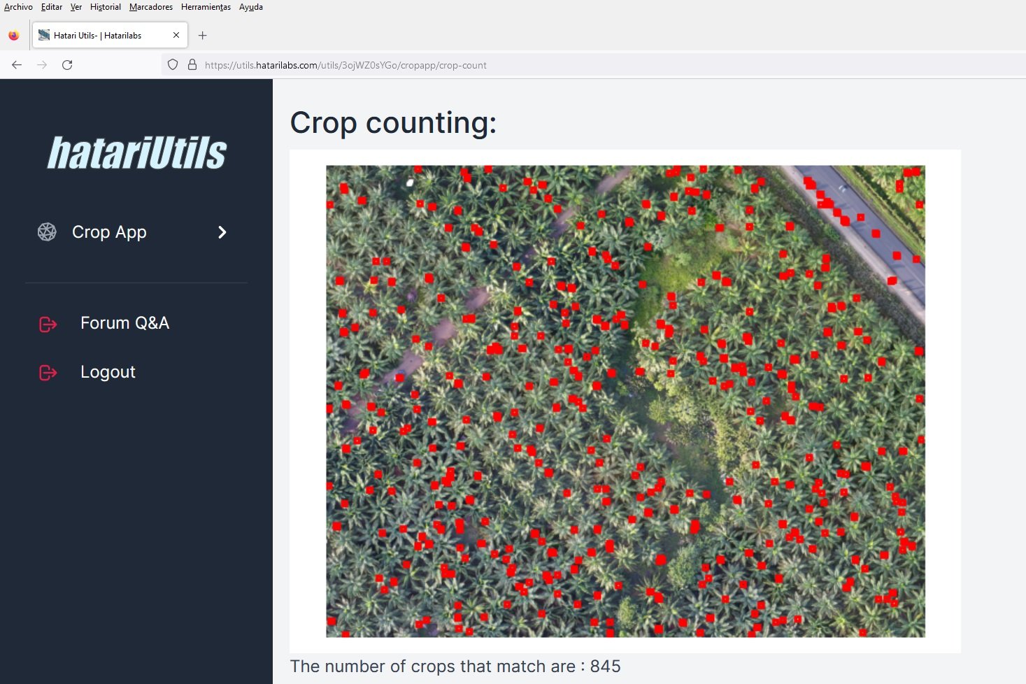
Online crop counting from drone orthophotos with Hatari Utils - Tutorial
/Orthophoto from drones provide us aerial imagery with spatial resolution in the scale of centimeters. With this high definition and cheap orthophotos we can interpret, analyze and quantify objects on a horizontal distribution by means of machine learning libraries for image recognition and cluster analysis.
Hatarilabs presents a new online tool in Hatari Utils for plant recognition and counting from a drone orthophoto.
Hatari Utils url:
Tutorial
Input files
You can dowload the input files from this link.


