

Introduction to Online Sensor Analysis with SensorThings API and Python - Tutorial
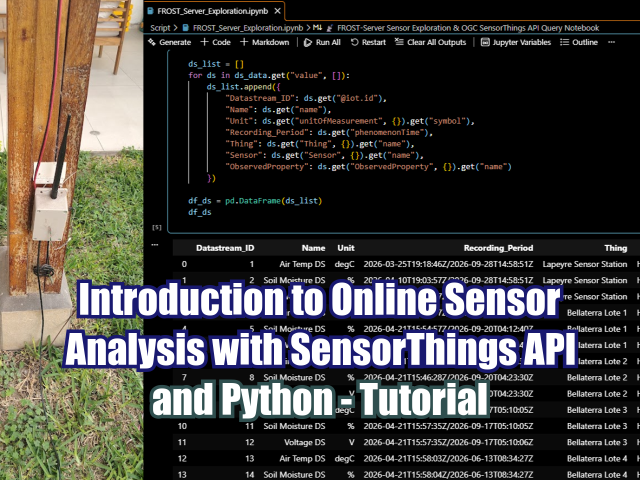
/In this Hatarilabs tutorial, viewers learn how to access and query live environmental sensor data using Python and the OGC SensorThings API standard. The video walks through setting up a Jupyter Notebook environment to interact with a FROST-Server, explaining key SensorThings API concepts—including Things, Sensors, Observed Properties, and DataStreams. Using packages such as requests, pandas, and datetime, the session demonstrates how to apply API parameters like $top, $skip, $orderby, and $expand to efficiently filter and retrieve time-series observations, culminating in a data frame visualization of temperature readings from a live outdoor sensor.
Read More





















FloPy is the Python library that builds and executes MODFLOW models; this library has been enhanced to provide full support of MODFLOW 6 with most of its recent development is related to functionality for MODFLOW 6, tools to use vector and raster spatial data and common plotting and export functionality.