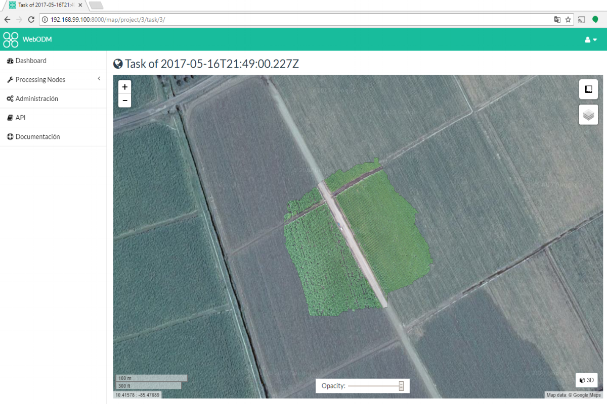
Tutorial to Generate Orthophotos from Drone Images with WebODM
/Drone imagery is a powerful for geospatial analysis on small scales and high resolutions. The availability to take drone images and the open source tools available allow the user to generate orthophotos with resolutions of less than 1 meter and fully compatible with SIG softwares as QGIS.
This tutorial show the procedure to make an orthophoto with WebODM based on drone images from a pinneapple field. You will need Docker and WebODM installed on your computer following these tutorials for Windows:
Tutorial: Installing Docker
https://www.hatarilabs.com/ih-en/tutorial-installing-docker
Tutorial: How to install Web OpenDroneMap (WebODM) in Windows with Docker
https://www.hatarilabs.com/ih-en/how-to-install-web-opendronemap-webodm-in-windows-with-docker


