Hatarilabs presents its educational program designed for mastering Python in real professional and academic environments. The program has an extensive practical work that goes from the basic concepts of Python, Numpy and Pandas to specific applications in water resources and geosciences coupled with geospatial analysis and machine learning.
We are sure that Python is a tool / asset for hydrologists, hydrogeologist, geoscientist or related professionals and we know that only practice can give you the Python level you need to apply in everyday data analysis or numerical modeling. The amount of hours, the topics covered together with the examination and certification processes give you a strong reference of Python on your professional capabilities.
This diploma is developed in asynchronous mode that allows students to be more flexible in their schedule and enjoy of instructional materials during 06 months.
Read More

















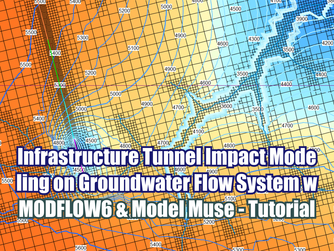
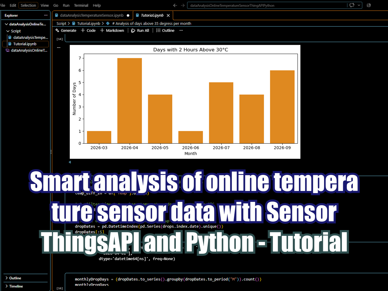
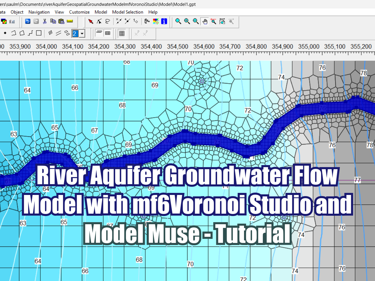
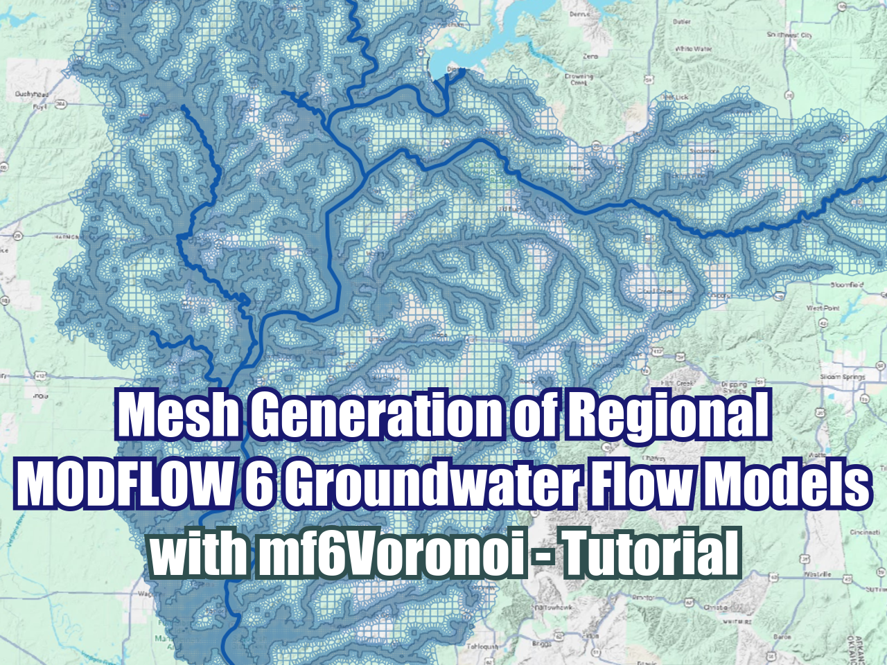





FloPy is the Python library that builds and executes MODFLOW models; this library has been enhanced to provide full support of MODFLOW 6 with most of its recent development is related to functionality for MODFLOW 6, tools to use vector and raster spatial data and common plotting and export functionality.