

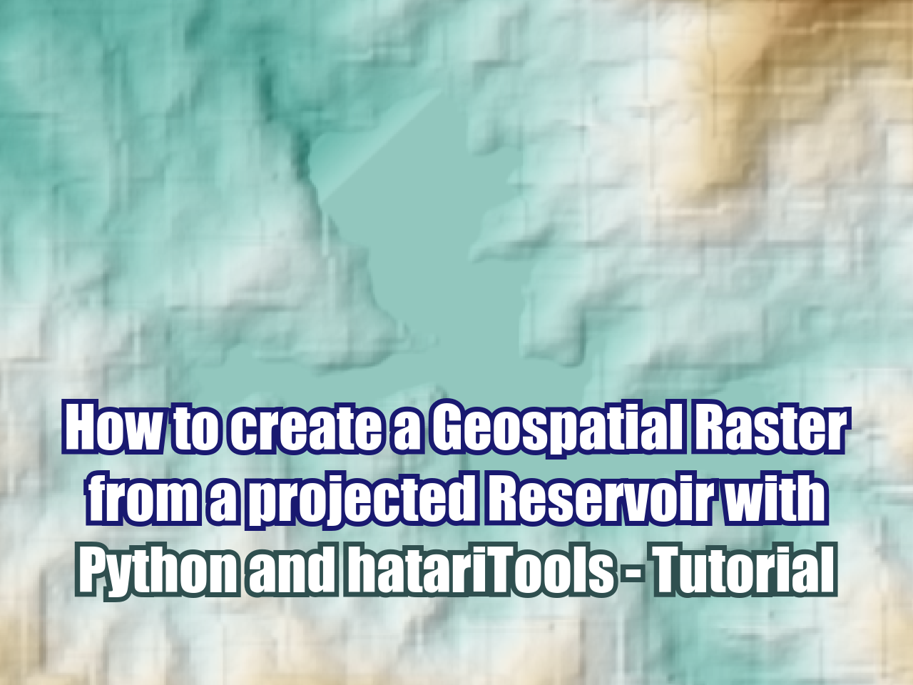
How to create a Geospatial Raster from a projected Reservoir with Python and hatariTools - Tutorial
/
The task to modify geospatial rasters considering future elements can be a complex task with the available GIS tools. We have optimized the way we can represent the surface of future (or current) water reservoirs on a fully geospatial raster. This tutorial shows the complete process to create a geospatial raster (TIF file) based on the contours from the dam and the reservoir extension.
Tutorial
Code
#!pip install hatariToolsfrom hatariTools.geospatialTools.rasterTools import modifyRasterwithRasterOnMask, modifyRasterwithElevOnMaskwholeRasterPath = "../rst/tsfDem10m.tif"
partialRasterPath = "../output/damElev.tif"
maskLayerPath = "../shp/damEnvelope_v2.shp"
modifiedRasterPath = "../output/demWithDam.tif"modifyRasterwithRasterOnMask(wholeRasterPath,
partialRasterPath,
maskLayerPath,
modifiedRasterPath)wholeRasterPath = "../output/demWithDam.tif"
elevValue = 670
maskLayerPath = "../shp/tailingsEnvelope_v2.shp"
modifiedRasterPath = "../output/demWithReservoir.tif"modifyRasterwithElevOnMask(wholeRasterPath,
elevValue,
maskLayerPath,
modifiedRasterPath)Input data
You can download the input data from this link.


