Actually, the sustainable management of groundwater is supported by reliable sources of information and powerful analytical tools that allow better decision making. In this context, numerical modeling tools allow a wide range of analysis possibilities, especially when it comes to a system as complex as hydrogeology.
A numerical flow model can be the most efficient and effective tool to carry out these analyzes, obtain reasonable information on the relationships between groundwater components. However, having a modeling tool is not enough. It is necessary to know both the modeling platform and understand the processes it seeks to reproduce, and in this particular case, understand the water dynamics of the hydrogeological system.
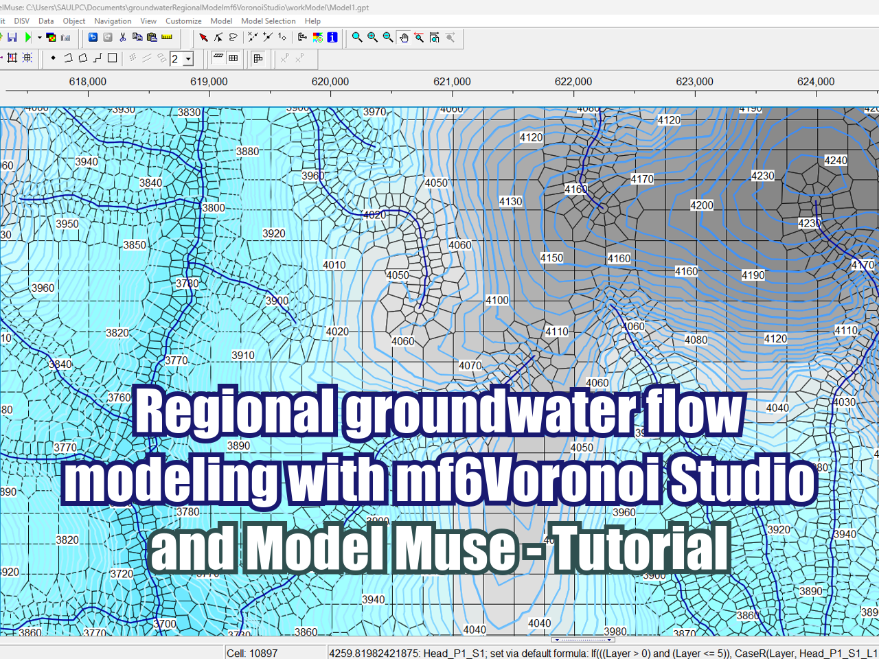
This course develops the main functions and applications of the latest version of the MODFLOW 6 groundwater modeling code, through the ModelMuse interface, both developed by the United States Geological Survey (USGS). This version includes innovative tools for the construction and simulation of hydrogeological models, mainly highlighting the incorporation of the discretization option for unstructured grids.


















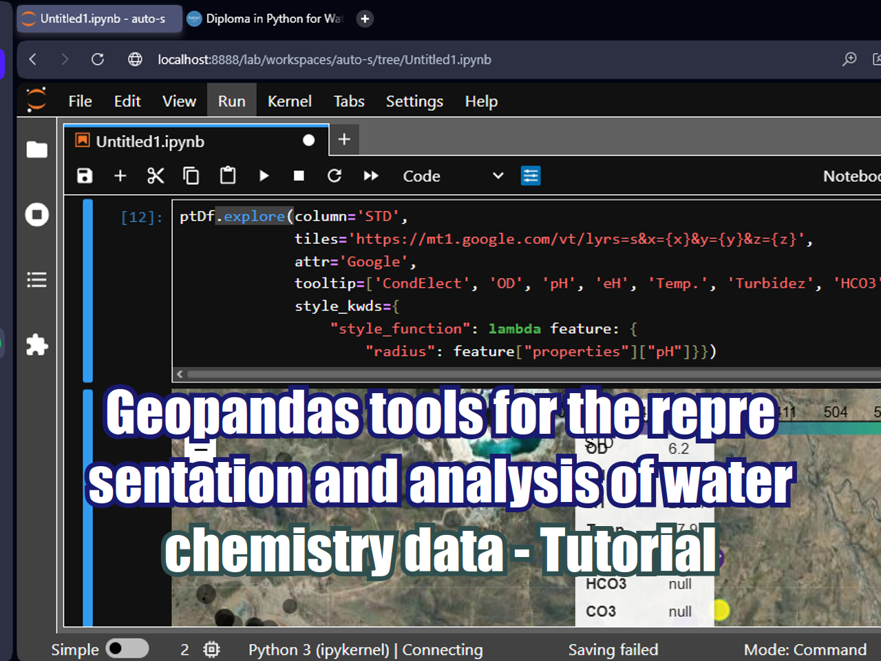





FloPy is the Python library that builds and executes MODFLOW models; this library has been enhanced to provide full support of MODFLOW 6 with most of its recent development is related to functionality for MODFLOW 6, tools to use vector and raster spatial data and common plotting and export functionality.