Large amount of spatial data is indexed and delivered through files in Hierarchical Data Format (HDF). These files are compatible with desktop GIS software as QGIS but they are not so easy to open/read/process with standard Python libraries as Rasterio, or with dedicated libraries. On our research we found the spatial functionality on the powerful GDAL binaries and library for Python.
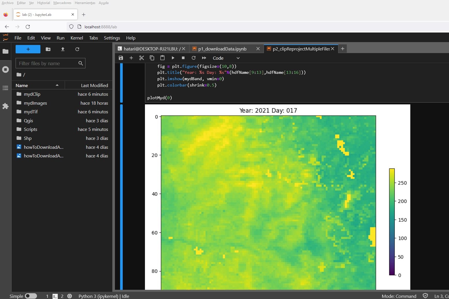
We have done an applied case for the download, reproject (to WGS84) and clip to the area of interest of several MYD16A2 actual evapotranspiration images. We have also create an interactive visualization of the clipped images that allow us to examine the precipitation trends and the challenges in the use of these data products.
For this webinar you need:
1. Windows Subsytem for Linux (WSL) in your computer:
On Powershell please check: wsl --status
If you dont have it installed please type: wsl --install
2. An account in NASA earthdata:
urs.earthdata.nasa.gov/users/new
Intructor
Saul Montoya M.Sc
Hydrogeologist - Numerical Modeler
Mr. Montoya is a Civil Engineer graduated from the Catholic University in Lima with postgraduate studies in Management and Engineering of Water Resources (WAREM Program) from Stuttgart University – Germany with mention in Groundwater Engineering and Hydroinformatics. Mr Montoya has a strong analytical capacity for the interpretation, conceptualization and modeling of the surface and underground water cycle and their interaction. He is in charge of numerical modeling for contaminant transport and remediation systems of contaminated sites. Inside his hydrological and hydrogeological investigations Mr. Montoya has developed an holistic comprehension of the water cycle, understanding and quantifying the main hydrological dynamic process of precipitation, runoff, evaporation and recharge to the groundwater system.
Event date
Wednesday, Oct 04, 2023 6:00 p.m. Amsterdam Time


