

Water resurces management requires not only some direct values as precipitation amounts but also more elaborated data as days without rain. Based on the CHIRPS dataset for year 2022 stored on NetCDF format we have elaborated a map of days without rain for a given country and exported the results as a fully geospatial raster. There is a particular discussion about the data type and the data value to calculate and store value just for the selected location,
Content
Open and explore the CHIRPS dataset
Clip the dataset for a selected country and time
Generate an array of days without rain
Export days without rain geospatial raster
Interactive visualization of a geospatial raster in Jupyter
Instructor
Saul Montoya M.Sc
Hydrogeologist - Numerical Modeler
Mr. Montoya is a Civil Engineer graduated from the Catholic University in Lima with postgraduate studies in Management and Engineering of Water Resources (WAREM Program) from Stuttgart University – Germany with mention in Groundwater Engineering and Hydroinformatics. Mr Montoya has a strong analytical capacity for the interpretation, conceptualization and modeling of the surface and underground water cycle and their interaction. He is in charge of numerical modeling for contaminant transport and remediation systems of contaminated sites. Inside his hydrological and hydrogeological investigations Mr. Montoya has developed an holistic comprehension of the water cycle, understanding and quantifying the main hydrological dynamic process of precipitation, runoff, evaporation and recharge to the groundwater system.
Event date
Wednesday, Mar 20 2024 6:00 p.m. Amsterdam Time

















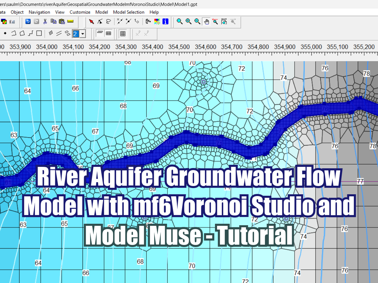
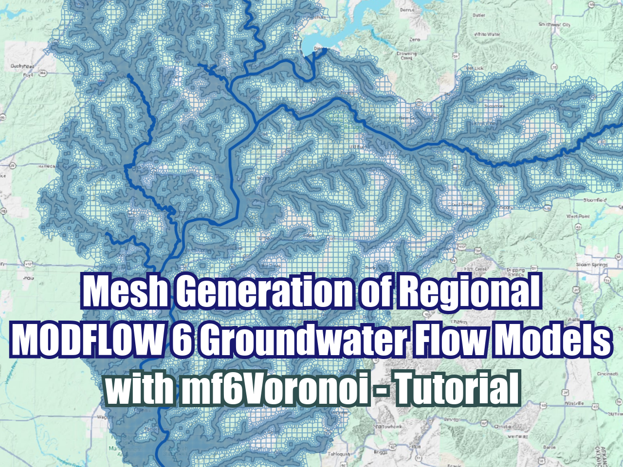

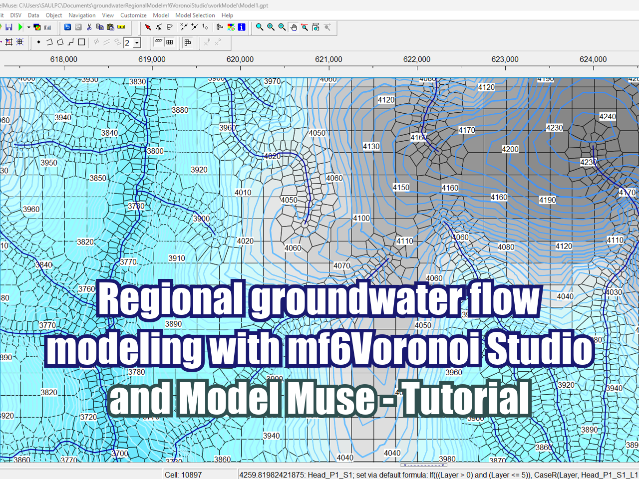





FloPy is the Python library that builds and executes MODFLOW models; this library has been enhanced to provide full support of MODFLOW 6 with most of its recent development is related to functionality for MODFLOW 6, tools to use vector and raster spatial data and common plotting and export functionality.