

Geospatial processing for a groundwater model in Model Muse in 14 minutes - Tutorial
/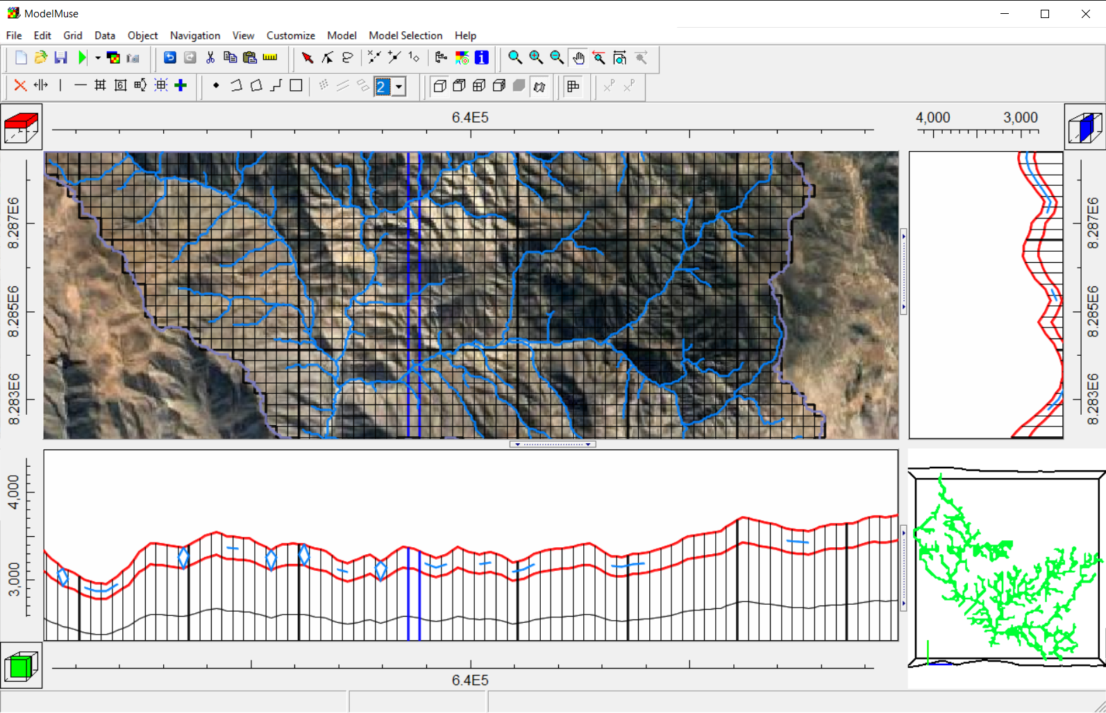
Groundwater model creation requires a complete set of spatial data for the different hydraulic parameters, boundary conditions and other model items. Vector and raster data need to be preprocessed, converted, reprojected to fit the requirements of Model Muse.
This tutorial covers an applied case of raster and vector data processing for a basin. The tutorial covers the steps to download and process the following data:
Water network
Basin extension
Background satellite image
Elevation Raster
The tutorial also includes the following steps of building a hydrogeological model:
Definition of grid and active zone
Surface elevation setup
Progressive layer thickness
Water network import
And all these steps were accomplished in 14 minutes.
Tutorial
Input data
You can download the input data from this link.


