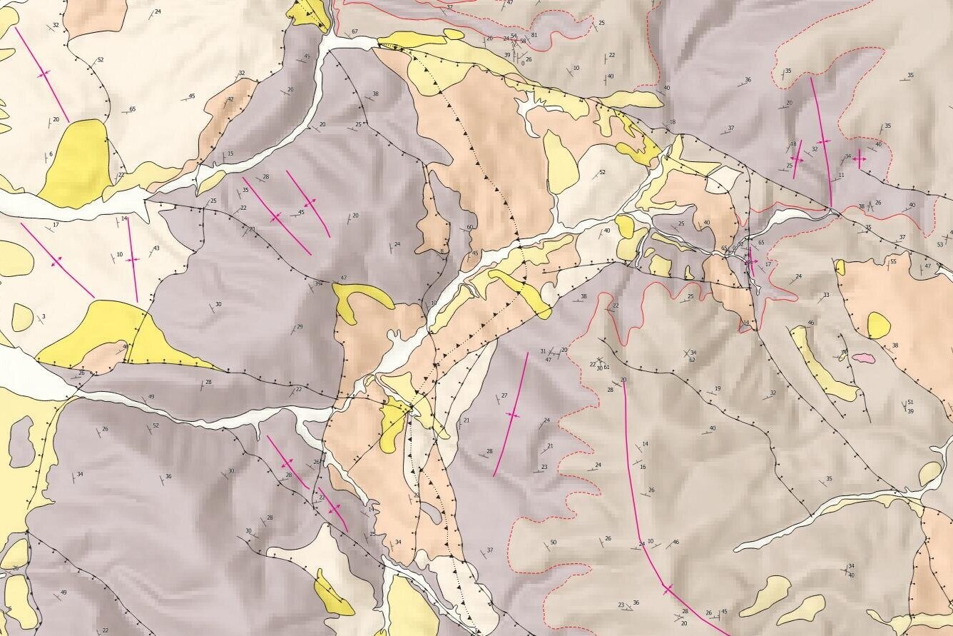
How to display anticlines / synclines in QGIS - Tutorial
/There are three essential things for the representation of geological data on QGIS: the spatial geological information, an appropriate symbology and the software knowledge. Once these three things are available, the potential of QGIS to represent geological maps is unlimited.
We have done a tutorial for the representation of synclines, anticlines, overturned synclines and overturned anticlines on the regional scale with QGIS.
Tutorial
Input data
All the geological information, symbols, and qgis projects are available on this link.


