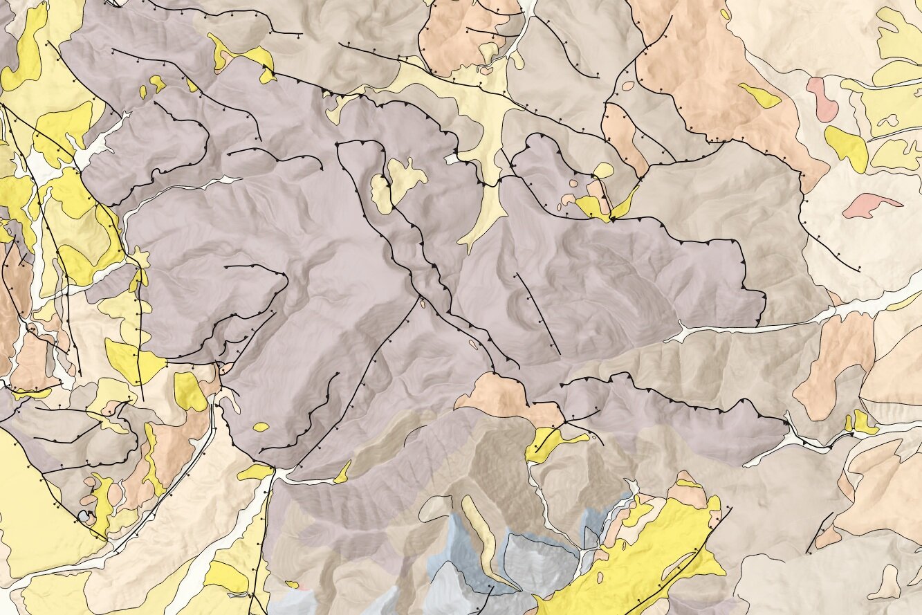
How to plot thrust and normal faults in QGIS - Tutorial
/A good spatial representation of the geological features requires not only high quality field data but also the right symbology and graphical resources. We can define QGIS as the tool that can create awesome geologic maps but still some resources have to be developed for a massive use. This tutorial shows the procedure to represent normal and inverse faults with symbology included on the input data files.
Tutorial
Input files
You can download the input files from this link.


