

Tutorial to determine Elevation and Precipitation of Subbasins on QGIS
/
This is a quick tutorial to determine Elevation and Precipitation on subbasin scale.
This tutorial cover the following topics:
- Review of spatial data system of coordinates (SRC)
- Interpolation of Precipitation in QGIS
- Zonal Statistics of Precipitation and Elevation
- Apply styles and labels to results
Download the data of this tutorial from this link:
http://gidahatari.com/s/4_DetermineElevationPrecipitationSubbasinsonQGIS.rar

















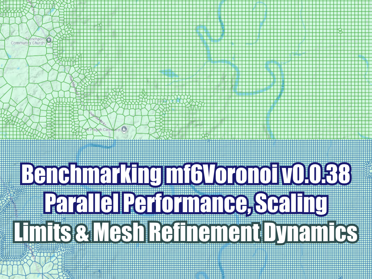





FloPy is the Python library that builds and executes MODFLOW models; this library has been enhanced to provide full support of MODFLOW 6 with most of its recent development is related to functionality for MODFLOW 6, tools to use vector and raster spatial data and common plotting and export functionality.