

Tutorial Infiltration Gallery for Water Supply Modeling with MODFLOW and Model Muse
/Tutorial for the simulation of filtration galleries close to a river. Modeling done with MODFLOW, Model Muse and QGIS.
Read MoreTutorial for the simulation of filtration galleries close to a river. Modeling done with MODFLOW, Model Muse and QGIS.
Read MoreGroundwater flow modeling depends on GIS data, and its output is compatible with a sort of GIS tools. In order to do analysis or representation from contaminant transport modeling it is needed a sort of commands, formats, tools and plugins from a stack of programs as ModelMuse and QGIS.
This tutorial is not only a example of water quality representation, it is as well a discussión on the main parts of modeling construction and simulation.
Read MoreModel Muse and QGIS makes possible to deal with geological data for the groundwater flow model cocntstruction. A diverse group of tools are required to process and insert geological features as contacts or faults. This tutorial show the whole procedure from the ground up to build the model geometry and insert a geological contact as the interfase within two layers.
Read MoreThe processes of the superficial and groundwater water cycle are related to the precipitation (shape and intensity) and the dynamic of soil moisture. This dynamic of soil moisture is determined by the type of soil and the root zone in a daily, or even hourly, temporal scale. These phenomena have not been considered or studied in conventional hydrogeology text books, maybe because of their intensive use of modeling tools and complex conceptualizations and validations.
Read MoreGRIDGEN is a program developed by the United States Geological Survey (USGS) to create unstructured grids to be used in numerical models such as MODFLOW-USG.
The use of unstructured grids has advantages, like the capacity of refining specific areas. However, its design and manipulation is more complicated than in structured grids. The most complex step is the creation of input data, specifically the ones related to cell connectivity. For this reason, GRIDGEN is an useful tool that helps to simplify the process.
Read MoreThe United States Geological Survey (USGS) has just released a new MODFLOW version: MODFLOW-6. This one comes with new functionalities to make it easier to create input files and perform simulations. Among the downloaded MODFLOW-6 files, there is an executable file to convert MODFLOW-2005 files to the new MODFLOW-6 format. In this tutorial we will show you how to do this.
Read MoreThe United States Geological Survey (USGS) has just released the latest MODFLOW version: MODFLOW 6. It is the sixth core version of MODFLOW to be released by the USGS (previous core versions were released in 1984, 1988, 1996, 2000, and 2005).
Read MoreA new and fresh opensource preprocessing and post processing tool is available. Freewat 0.4 was launched as a beta version and publicly available upon registration from this website: http://freewat.eu/. Most of the developers are italian and the project is funded under the H2020 program from the European Union and the Regione Toscana. The software comes with clear and descriptive documentation and tutorials plus the installation instructions.
This article show the most important features of Freewat and its capabilities for representing the geospatially referenced regional groundwater flow.
Constructing and calibrating numerical models can be a challenging task in terms of time, available data and professional abilities of the modeler. Since this work is usually done alone, there are many questions about the conceptualization of the physical environment, the construction of the model and the calibration with observed data. Based on the questions asked by some attendees of our webminars, we have written this article for all the confused hydrogeological modelers.
Read MoreFor most hydrogeologists numerical modeling of groundwater flow is still new and brings several challenges when dealing with input data, model construction and simulation. Most of our modeling efforts are done in gravity driven groundwater flow on shallow aquifers solved by Darcy law equations. Sometimes we excel ourselves in conceptualizing "advanced" topics as unsaturated flow, contaminant transport, variable density or baseflow calibration. What about if we consider another driving force besides gravity? Will out lives be happier/miserable? Could we cope with the huge amount of required data?
Read MoreEvapotranspiration is the mixed process of soil evaporation and transpiration of plants. This process is not included in many Hydrology books or in hydrological methods like the rational method, SCS, among others. Evapotranspiration is not relevant in when calculating maximum floods, but it is considered in water balances of superficial water and groundwater.
This article shows the relevance of the evapotranspiration process in the conceptualization and modeling of groundwater, indicating which would be the errors and inaccuracies of not considering this process.
Read MoreA hydrogeological evaluation needs a numerical representation of the groundwater flow regime. Numerical models are a great tool to evaluate the current and future conditions of groundwater flow. In order to make a model, it is necessary to have geological and climate data, among other types.
The following list describes the input data needed to carry out a hydrogeological modeling. The information required could be either in tabular or vectorial format.
Read MoreImpact on groundwater flow from mining facilities could be evaluated many times along the different mining phases, many of these evaluations are done by different consultant companies. This post is focused on strategies and best practices for cost (& time) optimization, specially for hydrogeological investigation on mining projects.
Read MoreIn the actual society, the environmental aspects are a concern when planning projects related to water resources. In this context, numerical models are useful tools to represent the superficial water and groundwater cycle and determine the contamination effects.
Read MoreWorking with graphical user interfases (GUIs) can be slow when one wants to do a severe trial-error runs on a groundwater flow model. Pumping test intepretation requires a lot of attemps in order to calibrate the steady and transient parameters as hydraulic conductivity, vertical anisotropy, specific storage and specific yield.
This tutorial show a procedure to generate the modflow files and run them by scripts in Python. The process allows to setup a generic model for a pumping test interpretation where the pumping rates, and observed head can come in separate files or arrays.
Read MoreMODFLOW is a versatil and applied computer code written in Fortran capable of modeling groundwater flow on steady and transient conditions. MODFLOW can simulate a diverse sort of groundwater flow management cases due to its packages and solvers. This tutorial shows the application of MODFLOW for the simulation of radial drains in a mine tailings facility. The simulation considers 16 drains of 60 m length over a simulation period of 1000 days.
Read MoreNowadays, water resources management requires a better understanding of nature and a superior evaluation of the impacts caused by humans. We are concerned and focused on sustainability because we live on a planet with limited resources and changing environments. In some way, we know that the actual changes are results from past and present actions along with the effect of nature cycles.
Read MoreIf we want to talk about concentrations, solutes and contaminant transport in groundwater, we need to mention the Source/Sink concepts and natural concentrations in groundwater. Sources represent solute mass entering the system, which could be representing spills or natural lixiviation processes. Sinks are the zones where water with solute concentrations leave the system.
Read MoreCurrent and historical mining activities have a seepage and waste-dumps legacy that are the concern for mining companies, population and regulatory authorities.
Old waste-dumps have not been regulated and most of the old tailings have been deposited in soils without covering. Tailing deposits and waste-dumps should be analyzed in a particular way because of the ground, instalation details, mineralized body geology, mined type, weather and other parameters.
Recent mining activities count with major engineering in waste-dumps and tailing deposit instalations, as well as better monitoring evaluation seepage. However, there is still a seepage risk coming from old and new waste-dumps and their transport constituties a potential environmental issue.
Read MoreSome questions from a follower:
Thanks for agreeing to help. I developed a simple mode just to check if it works. But I get this error (attached). There are NO streams in my study area so do I still need to give my model a input for drainage package? I wanted to go around it but I could not proceed, therefore I created streams as drainage lines from DEM.
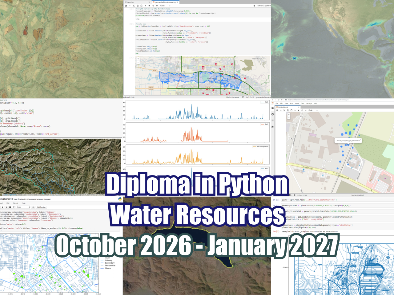
Read MoreHatarilabs presents its educational program designed for mastering Python in real professional and academic environments. The program has an extensive practical work that goes from the basic concepts of Python, Numpy and Pandas to specific applications in water resources and geosciences coupled with geospatial analysis and machine learning.
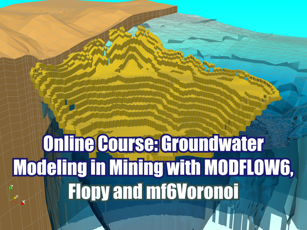
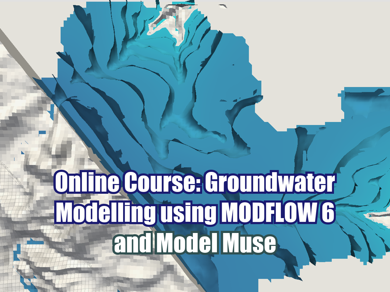
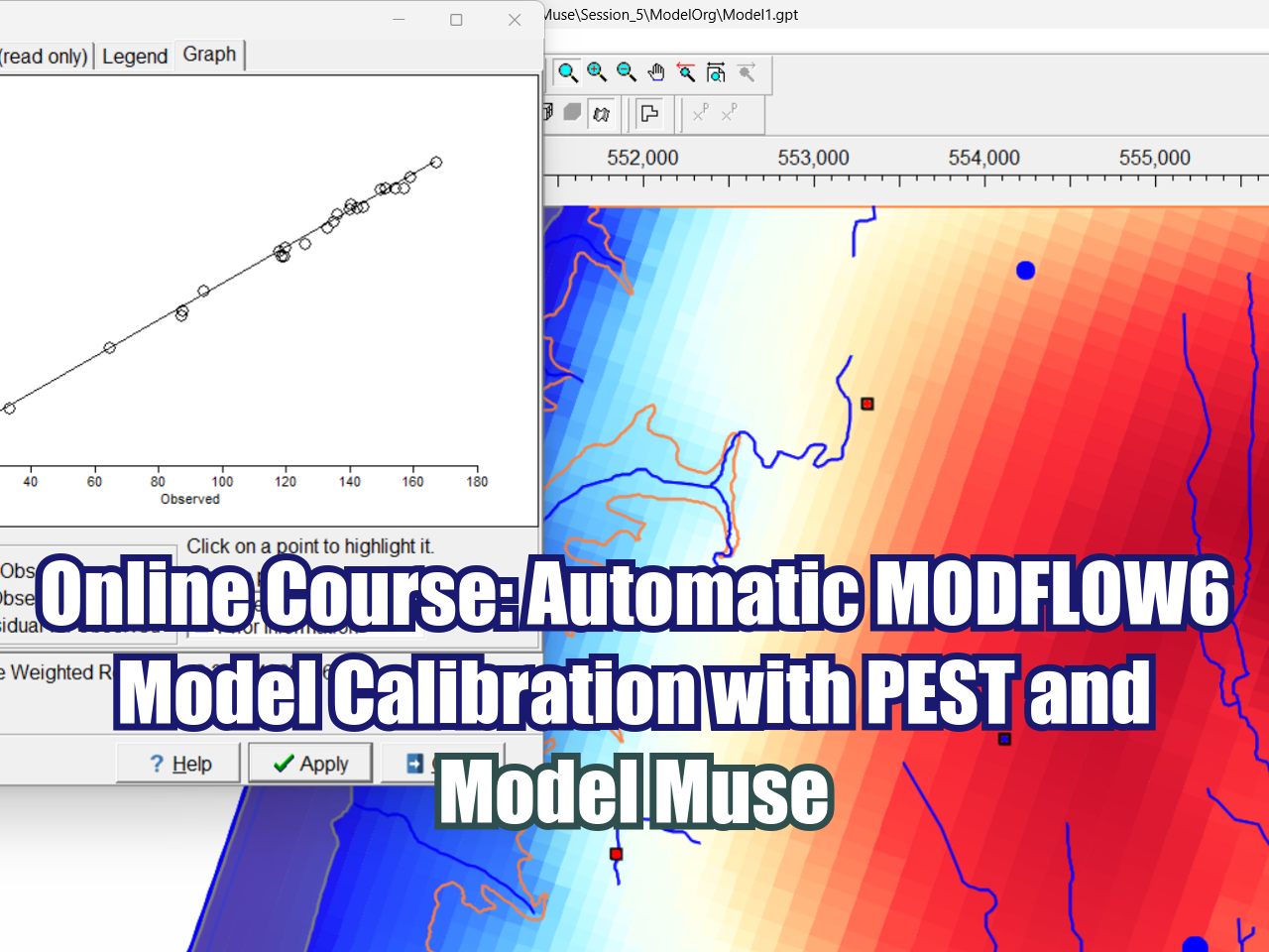
We have designed a complete program on MODFLOW with Model Muse that ranges from the essential topics in flow and transport modeling to applied cases of regional modeling, infrastructure projects, and seawater intrusion. MODFLOW with Model Muse is a recent open-source software that provides various tools for simulating the groundwater flow regime in different environments.
This program is designed to provide systematical learning from the most basic and general topics to intermediate and advanced topics, allowing the student to understand the various steps in developing hydrological models using the SWAT+ interface for QGIS. This program has a series of theoretical and practical concepts that allow the student to process spatial data, manage meteorological databases, build hydrological models, develop sensitivity analyses, and perform manual and automatic calibrations using versatile tools such as SWAT+ Toolbox, SQLite, and Python.

ONLINE COURSES:
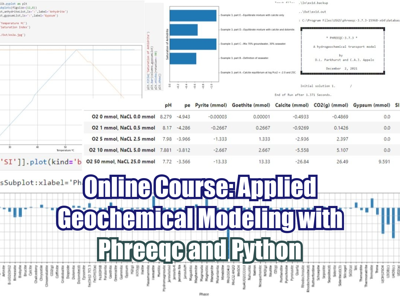
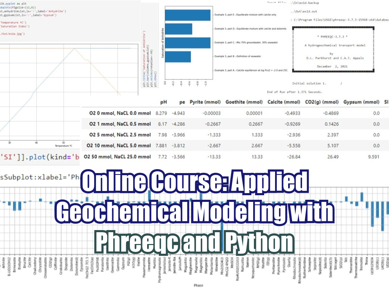
Phreeqc is a software developed by the USGS written in C++ capable of modeling a variety of aqueous geochemical processes such as mixing of waters, modeling equilibrium between solid and aqueous phase, modeling impact of temperature, calculation of element concentration among others.
Hatarilabs has developed an applied and unique course of Phreeqc integrated with Python undes a class (object type) that can run, parse and provide Phreeqc output as Pandas dataframes and integrate it to plots and further analysis with other Python libraries on a Jupyter notebook.
HEC-RAS is a software designed to perform hydraulic 1D and 2D calculations on river channels either natural or man constructed. It allows steady flow, unsteady flow, sediment transport and water quality modelling. It is developed by the US army corps of engineers, US Department of defence and it is openly available software. The HEC-RAS steady flow is based on one dimensional energy equation, while for the unsteady flow, HEC-RAS uses an implicit, finite difference method to solve the fully dynamic Saint-Venant equations.
The objective of HEC-RAS is to solve river dynamics and river engineering problems. Applications are delimitation of flood areas, embankment and protection work design, river restoration, emergency plans for dam break, optimization of hydraulic work and risk assessment and management.
This course develops the main functions and applications of the latest version of the MODFLOW 6 groundwater modeling code through the ModelMuse interface, both developed by the United States Geological Survey (USGS). This version includes innovative tools for the construction and simulation of hydrogeological models, mainly highlighting the incorporation of the discretization option for discretized by vertices grids.
The development of machine learning and geospatial libraries in Python as Scikit Image, Rasterio and Fiona gave us a new range of tools to analyze vegetation from traditional sources as satellite imagery and new sources as drone orthophotos. The appliance of Python programming for crop identification depends on many factors such as the image resolution, the vegetation stage and even the algorithm setup.
We have developed a course crop identification / delineation with geospatial and machine learning tools of Python, the course is aimed to GIS or related professionals that have basic Python knowledge. The course covers the introductory concepts of the geospatial libraries and a series of machine learning applications for crop indentification in olive trees, palms, agave and corn fields.
Note:
This course is for professionals with previous knowledge of Python. Basic concepts of Python programming will not be covered in the lessons and course material. In case you don’t have any knowledge of Python, we recommend you to take this online course.
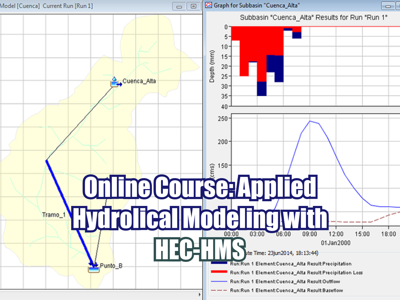
The Hydrologic Modeling System (HEC-HMS) is a free program developed by the US Corps of Engineers that implements a series of hydrological methods to represent different physical processes of the water cycle.
HEC-HMS also includes procedures necessary for continuous simulation including evapotranspiration, infiltration, hydrological routing and soil moisture accounting. The tools and options of HEC HMS make it a very versatile and powerful software for the hydrological simulation of different scenarios such as extreme events in arid regions, or water balances in wet climates.
Hatarilabs offers the online course of Hydrological Modeling with HEC-HMS for students and professionals of any country. The course is focused on theory and practical to know the different HEC-HMS tools and its application to the hydrological modeling.
Hatarilabs offers the online course of Hydrological Modeling with QSWAT for students and professionals of any country. The course is focused on the acquisition and preprocessing of data for SWAT+ using QGIS 3.4 for develop hydrological watershed modeling.
This course covers the whole procedure of developing regional groundwater models through the ModelMuse interface, including the model construction, boundary conditions, parameter assignment, model simulation, results analysis and visualization, and model calibration. Flopy is also introduced in the course to import, create, refine and simulate the model as in ModelMuse. Two basins with different aquifer setting and boundary conditions are used as case studies to demonstrate the use of these tools so that the participants learn how to build these models and analyze the results for future decision-making.
Evaluation of long term impacts of the mining activity is a key topic on the public concern and regulatory and sustainability policies. Due to the scale of the mining projects and the different related activities, impacts could be made to several parts of the physical environment. Groundwater modeling is a useful tool for the simulation of mine closure impacts to the groundwater flow system and groundwater quality. Hatarilabs has developed an applied course about the simulation, calibration, representation and impact analysis of a waste dump closure on the environment and water bodies with a long term scope (closure and post closure). The course will be given on Model Muse for flow and contaminant transport modeling and scripts in Flopy for model calibration, water balance analysis and evaluation of remediation techniques performance.
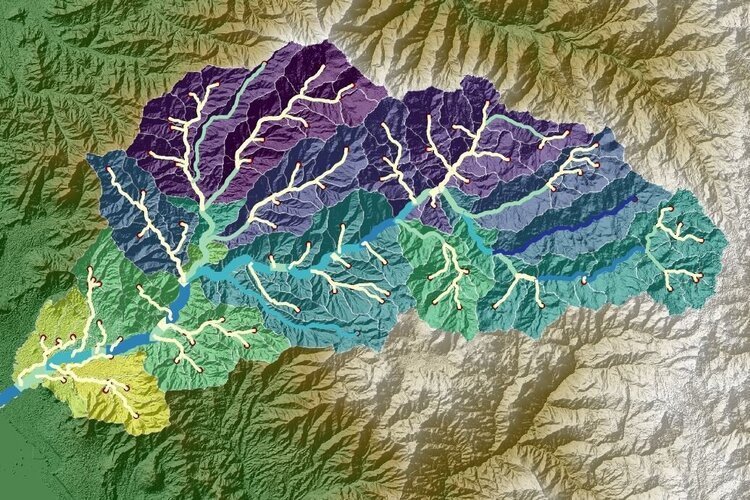
This course is focused on how to use the different packages related to numerical tools, data analysis, representation of graphs, and others. Many of these tools are applicable to the field of Hydrology in the preparation of data for hydrological models, statistical analysis of hydrological parameters and model result representation.
Graphical user interfaces (GUIs) are commonly used to construct and post-process numerical groundwater flow. Flopy is the Python library that builds and executes MODFLOW models; this library has tools and options for the complete geo-referencing of a MODFLOW model.
Python is a simple and powerful programming language; its simplicity is remarkable compared to other programming languages and its power is based on the number of tools available for different areas of study.
Use of Python with the available scientific packages and FloPy, facilitates data exploration, alternative model evaluations and model analyses that can be difficult to perform with GUIs. One advantage of Flopy and Python is that there are many packages available to facilitate the model development process, including packages for plotting, array manipulation, optimization, and data analysis.
This course allows acquired knowledge of the open source programming language to construct model input files, run the model, and read and plot simulation results.
LATEST POSTS
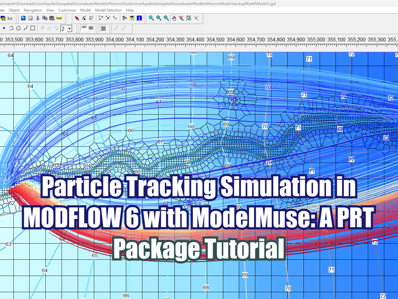
This tutorial demonstrates how to set up and run a particle tracking simulation using the new Particle Tracking (PRT) package in MODFLOW 6 within ModelMuse 5.5. Using an existing river-aquifer groundwater flow model built on a Voronoi grid, the walkthrough covers configuring the PRT and Particle Release Point (PRP) packages, adjusting stress period durations, updating the MODFLOW 6 executable, and defining release objects along the river. Finally, viewers will learn how to visualize and interpret the resulting particle track lines to analyze groundwater flow paths and discharge zones across different aquifer layers.
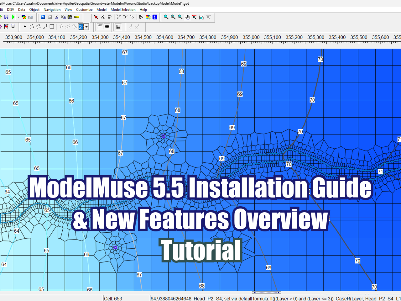
ModelMuse version 5.5 was officially released on November 8, 2026! In this step-by-step tutorial, you will learn the exact installation procedure for the latest update and explore the most important new features and improvements added to this version.
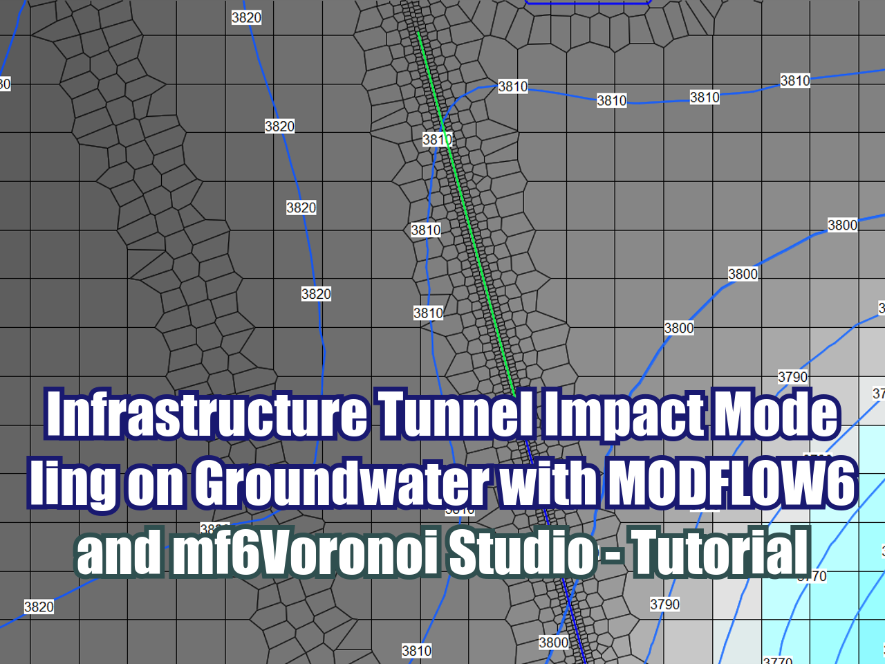
This tutorial demonstrates how to model the hydrogeological impact of an infrastructure tunnel on a local groundwater flow system using MODFLOW 6 and mf6Voronoi Studio. The exercise simulates a four-year tunnel excavation process through a mountainous terrain bounded by two creeks, evaluating how gradual underground construction affects local water table levels and surrounding flow dynamics. The model utilizes an unstructured Voronoi mesh generated in mf6Voronoi Studio to achieve precise local grid refinement and seamless geometry representation along the tunnel alignment and stream network. Additionally, the model incorporates local geology, dynamic drain boundaries, and transient stress periods to capture the groundwater system's temporal response to underground construction.
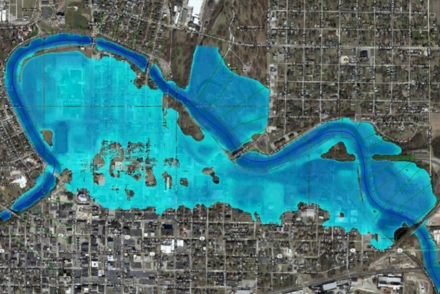
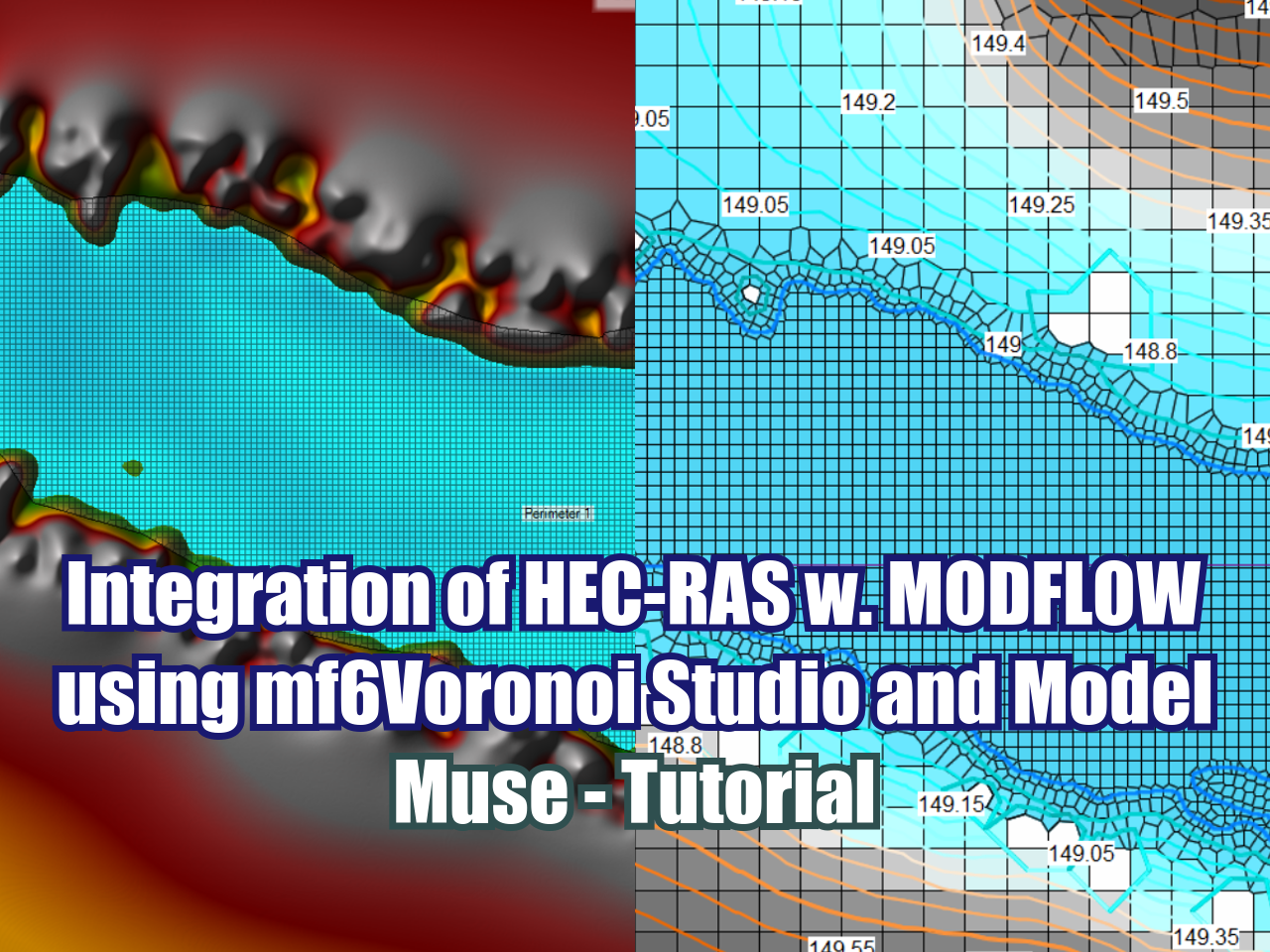
In this tutorial on the integration of HEC-RAS with MODFLOW using mf6Voronoi Studio and Model Muse, we will develop a complete step-by-step practical example, starting from an already built unsteady model in HEC-RAS from which we will export key depth and hydraulic elevation data for a specific datetime, information from which we will generate the optimized simulation voronoi mesh that we will later import into ModelMuse to structure our groundwater model incorporating River and General Head Boundary (GHB) boundary conditions, concluding with a detailed analysis of the distribution of hydraulic heads and the evaluation of the dynamic interaction between the different sections of the river and the aquifer system.
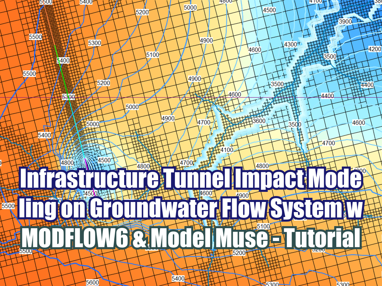
This tutorial demonstrates how to model the hydrogeological impact of an infrastructure tunnel on a regional groundwater flow system using MODFLOW 6 and Model Muse. The exercise simulates a four-year tunnel excavation process through a mountainous terrain bounded by two creeks, evaluating how gradual underground construction affects local water table levels and regional flow dynamics. The model uses an unstructured discretization grid (DISV) with Quadtree refinement along the river and tunnel paths, also the model incorporates local geology, dynamic drain boundaries, and transient stress periods to capture the groundwater system's response over time.
SEARCH



 |
 |
 |
 |
 |
 |





FloPy is the Python library that builds and executes MODFLOW models; this library has been enhanced to provide full support of MODFLOW 6 with most of its recent development is related to functionality for MODFLOW 6, tools to use vector and raster spatial data and common plotting and export functionality.