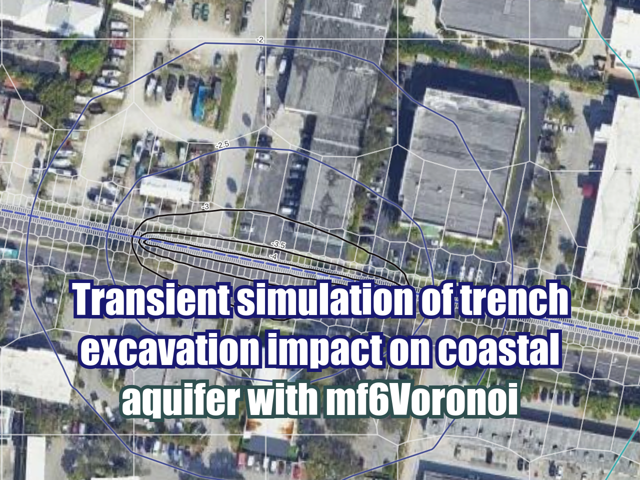
Tutorial to create a geospatial Voronoi-sh mesh with Python, Scipy and Geopandas
/Divide a continuous media as a hydrological / hydrogeological basin into discrete parts is an art. Cell size have to related to hydrological features, cell number have to be optimized to cover areas of interest with an adequate refinement while minimizing the total cell number. The computational process has be fast to allow user run multiple times to achieve a desired mesh.
We have done a tutorial that creates a Voronoi-sh mesh over shapefiles with several options for refinement and polygon relaxation, resulting polygons are clipped to the mesh boundary and exported as shapefile or geojson. The script was done with Python, Scipy, and Geopandas.
Read More


