

How to add a Google Map/Terrain/Satellite Layer in QGIS 3 - Tutorial
/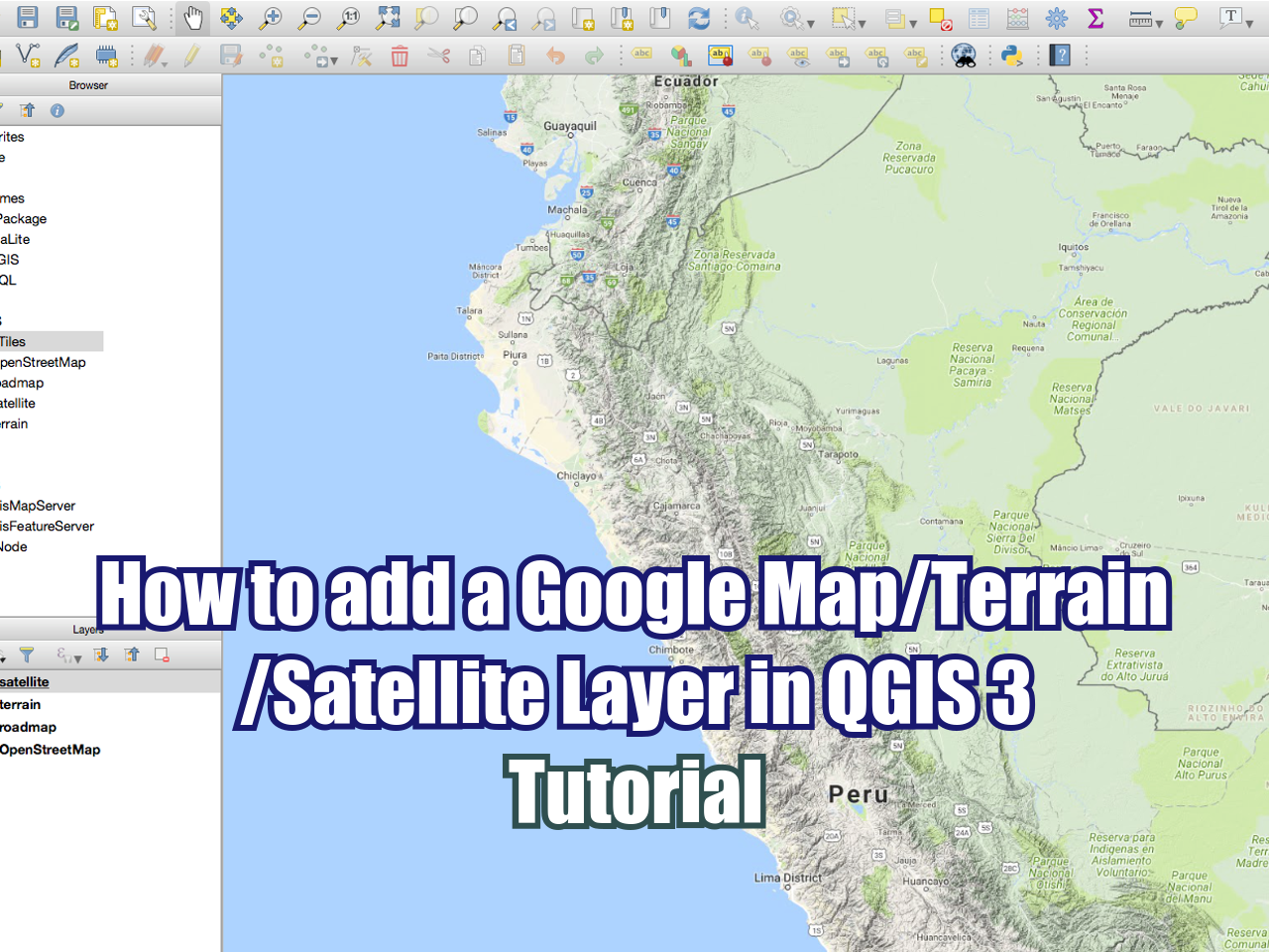
QGIS is a open source and powerful Geographic Information System (GIS) software. The latest version of QGIS is QGIS 3.0 that comes with many and exciting new features for the old and new users. As the previous versions of QGIS, the software is really intended to make more spatial analysis and management with less effort, however this version has new tricks and a new order to locate tools. In this tutorial we will show the complete procedure to import a Google Map layer to the QGIS 3 canvas as XYZ tiles.
URLs
The available Google Maps layers are:
Roadmap
http://mt0.google.com/vt/lyrs=m&hl=en&x={x}&y={y}&z={z}
Terrain
http://mt0.google.com/vt/lyrs=p&hl=en&x={x}&y={y}&z={z}
Altered roadmap
http://mt0.google.com/vt/lyrs=r&hl=en&x={x}&y={y}&z={z}
Satellite only
http://mt0.google.com/vt/lyrs=s&hl=en&x={x}&y={y}&z={z}
Terrain only
http://mt0.google.com/vt/lyrs=t&hl=en&x={x}&y={y}&z={z}
Hybrid
http://mt0.google.com/vt/lyrs=y&hl=en&x={x}&y={y}&z={z}


