

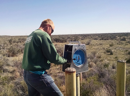
Design and implementation of groundwater monitoring systems
/A monitoring network is a system where the level and quality records that the groundwater describes are generated, become available and are evaluated. These records are consistent, representative and long lasting.
A monitoring network provides levels and quality data that can be used to answer different questions about underground water resources in a variety of regional and local scale. The analysis of level and quality data provide fundamental information to understand the water availability related to natural and human factors, the identification of the spatial and temporal variation causes seen and is the base to predict water management action effects.
Groundwater monitoring network monitors the main aquifers in a study zone under hydrogeological solicited and un-solicited conditions. The components of the groundwater monitoring network includes monitoring parameters, wells selection, standard measurement and sampling and frequency of sampling.
Not all the questions related to groundwater can be answered with the same data group. Some potential questions require monitoring of high frequency, while other research requires data in an extensive period of time.
Objectives
The main objectives of a groundwater monitoring system are:
- Measure the groundwater levels and quality, including their annual and seasonal fluctuations.
- Register the groundwater extraction flow of the system aimed to irrigation, industry and population.
- Evaluate the wet conditions and the water table recharge.
- Register the impact of extreme events as floods, droughts and accidental contamination in groundwater.
- Observe the discharge of punctual and non-punctual contaminant sources.
- Storage the level and quality data in a safe, relational and friendly way with the users.
- Spread and transfer efficiently data to the organization components.
- Provide indicators for groundwater management.
- Identify information needs about regional and punctual conditions.
- Offer support to the hydrogeological numerical model elaboration.
Key points
- Framework groundwater monitoring.
- Groundwater research in a local and regional scale.
- Geophysical research for the hydrogeological evaluation.
- Aquifers and monitoring network scale selection.
- Monitoring points distribution.
- Piezometer installation type selection.
- Quality and level sampling frecuency determination.
- Physical and chemical parameters analysis.
- Control of the quality evaluation and documentation.


