Coupling local geological data into Model Muse with Python and Aquifer App - Tutorial
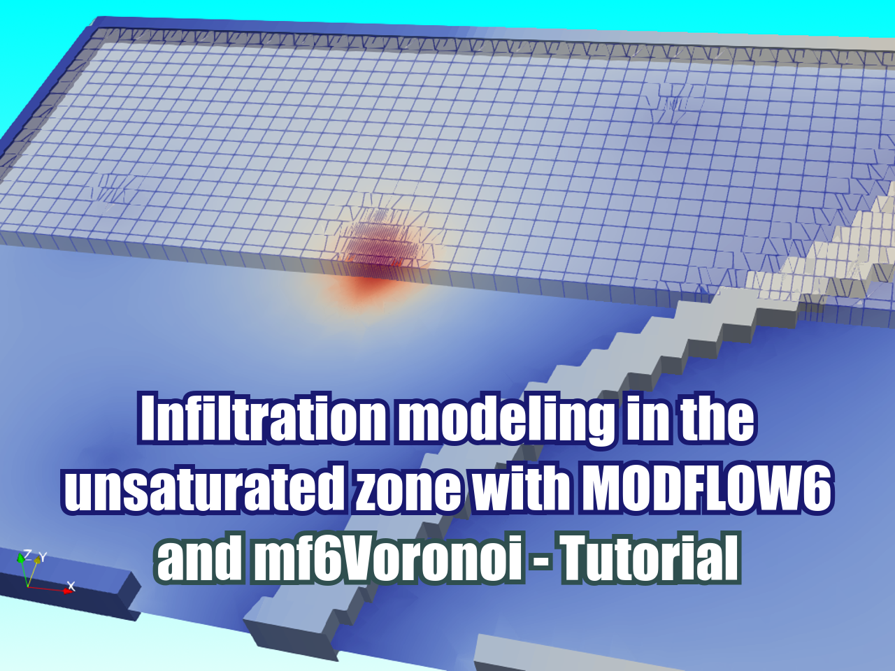
/Spatial discretization for a mine related groundwater model has to come from geospatial data that has a system of reference (crs). The latest version of Modflow that is Modflow 6 implements the discretized by vertices option (DISV) that allows the creation of triangular, quadtree, voronoi meshes among other options. We have developed some Python scripts to create voronoi meshes from shapefiles where the user has to define a limit polygon, layers (point, line or polygon) and refinement levels. The code generates meshes with adequate performance and gives geospatial output for the final voronoi mesh as well as the intermediate steps.
Read More


