How to calculate the NDVI Index from a Sentinel 2 Image
/This tutorial show the prodecure to calculate the NDVI from Sentinel 2 bands on QGIS.
Read MoreThis tutorial show the prodecure to calculate the NDVI from Sentinel 2 bands on QGIS.
Read MoreFalse color images are used to enhance certain cover types as vegetation on the image representation. This tutorial show the procedure represent the bands of a False Color image from Sentinel 2 bands in QGIS.
Read MoreThis tutorial show the procedure represent the bands of a Sentinel 2 Granule (Image) in QGIS. The representation of the image is True Color (Red, Green and Blue)
Read MoreSentinel-2 carries an innovative wide swath high-resolution multispectral imager with 13 spectral bands for a new perspective of our land and vegetation. The mission is based on a constellation of two identical satellites in the same orbit, 180° apart for optimal coverage and data delivery. Together they cover all Earth’s land surfaces, large islands, inland and coastal waters every five days at the equator (source ESA).
This tutorial show the procedure to download especific granules from a ESA Sentinel 2 Image using the website: https://scihub.copernicus.eu/
Read MoreSentinel-2 carries an innovative wide swath high-resolution multispectral imager with 13 spectral bands for a new perspective of our land and vegetation. The mission is based on a constellation of two identical satellites in the same orbit, 180° apart for optimal coverage and data delivery. Together they cover all Earth’s land surfaces, large islands, inland and coastal waters every five days at the equator (source ESA).
This tutorial show the procedure to download images of ESA Sentinel 2 from the website: https://scihub.copernicus.eu/
Read MoreEvaporation is accomplished by removing water from the chemical system. Water can be removed as an irreversible reactant with a negative reaction coefficient in the REACTION keyword input. This example uses this method; the REACTION data block is used to simulate concentration of rain water by approximately 20 fold by removing 95 percent of the water. The resulting solution contains only about 0.05 kg of water. In a subsequent simulation, the MIX keyword is used to generate a solution that has the same concentrations as the evaporated solution, but has a total of mass of water of approximately 1 kg.
Read MoreThis example demonstrates the capabilities of PHREEQC to perform a series of geochemical simulations, with the final simulations relying on results from previous simulations within the same run. The example investigates diagenetic reactions that may occur in zones where seawater mixes with carbonate ground water. This example is take from the Phreeqc documentation that can be found here:
https://wwwbrr.cr.usgs.gov/projects/GWC_coupled/phreeqc/html/final-72.html
Read MoreThis tutorial is about the hydrological modeling at basin scale using different hydrological process as:
The tutorial uses the Soil Moisture Accounting method and compares the results with observed flow measurement on the basin.
Read MoreWorking with graphical user interfases (GUIs) can be slow when one wants to do a severe trial-error runs on a groundwater flow model. Pumping test intepretation requires a lot of attemps in order to calibrate the steady and transient parameters as hydraulic conductivity, vertical anisotropy, specific storage and specific yield.
This tutorial show a procedure to generate the modflow files and run them by scripts in Python. The process allows to setup a generic model for a pumping test interpretation where the pumping rates, and observed head can come in separate files or arrays.
Read MorePHREEQC version 3 is a computer program written in the C and C++ programming languages that is designed to perform a wide variety of aqueous geochemical calculations. PHREEQC implements several types of aqueous models: two ion-association aqueous models (the Lawrence Livermore National Laboratory model and WATEQ4F), a Pitzer specific-ion-interaction aqueous model, and the SIT (Specific ion Interaction Theory) aqueous model. Using any of these aqueous models, PHREEQC has capabilities for (1) speciation and saturation-index calculations; (2) batch-reaction and one-dimensional (1D) transport calculations with reversible and irreversible reactions.
This tutorial shows how to calculate the solubility and relative thermodynamic stability of two minerals, gypsum and anhydrit as a function of temperature at 1 atm.
Read MoreMODFLOW is a versatil and applied computer code written in Fortran capable of modeling groundwater flow on steady and transient conditions. MODFLOW can simulate a diverse sort of groundwater flow management cases due to its packages and solvers. This tutorial shows the application of MODFLOW for the simulation of radial drains in a mine tailings facility. The simulation considers 16 drains of 60 m length over a simulation period of 1000 days.
Read MoreThis example calculates the distribution of aqueous species in seawater and the saturation state of seawater relative to a set of minerals. To demonstrate how to expand the model to new elements, uranium is added to the aqueous model defined by phreeqc.dat.
Read MorePHREEQC version 3 is a computer program written in the C and C++ programming languages that is designed to perform a wide variety of aqueous geochemical calculations. PHREEQC implements several types of aqueous models: two ion-association aqueous models (the Lawrence Livermore National Laboratory model and WATEQ4F), a Pitzer specific-ion-interaction aqueous model, and the SIT (Specific ion Interaction Theory) aqueous model. Using any of these aqueous models, PHREEQC has capabilities for (1) speciation and saturation-index calculations; (2) batch-reaction and one-dimensional (1D) transport calculations with reversible and irreversible reactions.
Read MoreIf we want to talk about concentrations, solutes and contaminant transport in groundwater, we need to mention the Source/Sink concepts and natural concentrations in groundwater. Sources represent solute mass entering the system, which could be representing spills or natural lixiviation processes. Sinks are the zones where water with solute concentrations leave the system.
Read MoreTutorial about how to apply styles in QGIS.
Read MoreSimple tutorial about cross seccions with the Profile Tool plugin on QGIS.
Read MoreQuick tutorial to download Land Cover imagery from the Nasa Echo Reverb repository
Read MoreQuick tutorial for the simulation of a contaminant plume from a waste dump
Read MoreQuick tutorial to plot concentrations, generate contours and make ilustrations.
Read MoreQuick tutorial for the numerical modeling of groundwater flow regime for an andean basin.
Read More
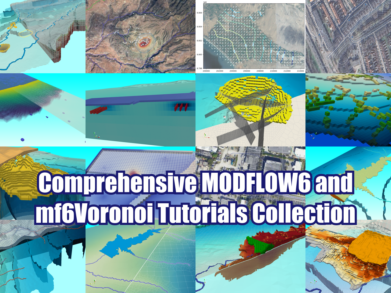
ONLINE COURSES:
LATEST POSTS
SEARCH


 |
 |
 |
 |
 |
 |