

Introduction to PyQGIS, the Python environment in QGIS
/QGIS is a great software for the processing/analysis of spatial data, Python is a clear, powerful programming lenguaje; together they can enhance the spatial analysis to solve more complex or more dedicated problems in less time. PyQGIS is the Python environment inside QGIS with a set of QGIS libraries plus the Python tools with the potential of running other powerful libraries as Pandas, Numpy or Scikit-learn. This tutorial shows the main parts of the Python environment and has some practical cases of vector data layers.
Read More
















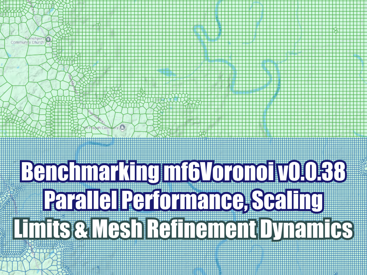





FloPy is the Python library that builds and executes MODFLOW models; this library has been enhanced to provide full support of MODFLOW 6 with most of its recent development is related to functionality for MODFLOW 6, tools to use vector and raster spatial data and common plotting and export functionality.