

How to create an Elevation Raster from Contour Lines with Python, Geopandas, Numpy and Gdal - Tutorial
/Spatial analysis is such an interesting discipline because it allows the evaluation of every phenomena related to their location. However, for some parts of the data processing the workflow on a GIS Graphical Computer Interface (GUI) can be repetitive and time consuming. Researchers need better and more efficient tools to process more amount of data in less amount of time and even with less quantity of software tools.
We have create a innovative script to generate an elevation raster file from a contour line with several steps of data processing. The script recognizes invalid geometries, simplify the polylines and extract vertices while creates a point geodataframe that is interpolated and geotransformed as a geospatial raster in .tiff format.
Read More
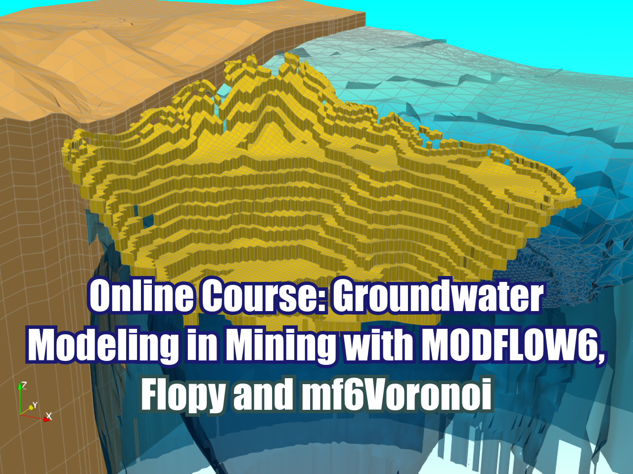
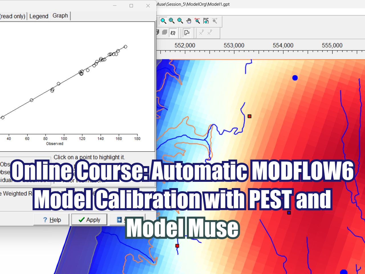


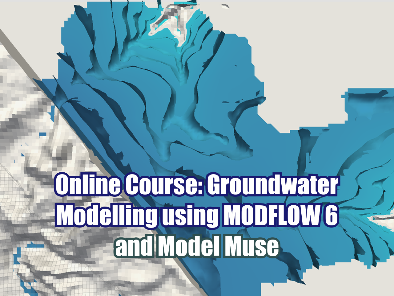


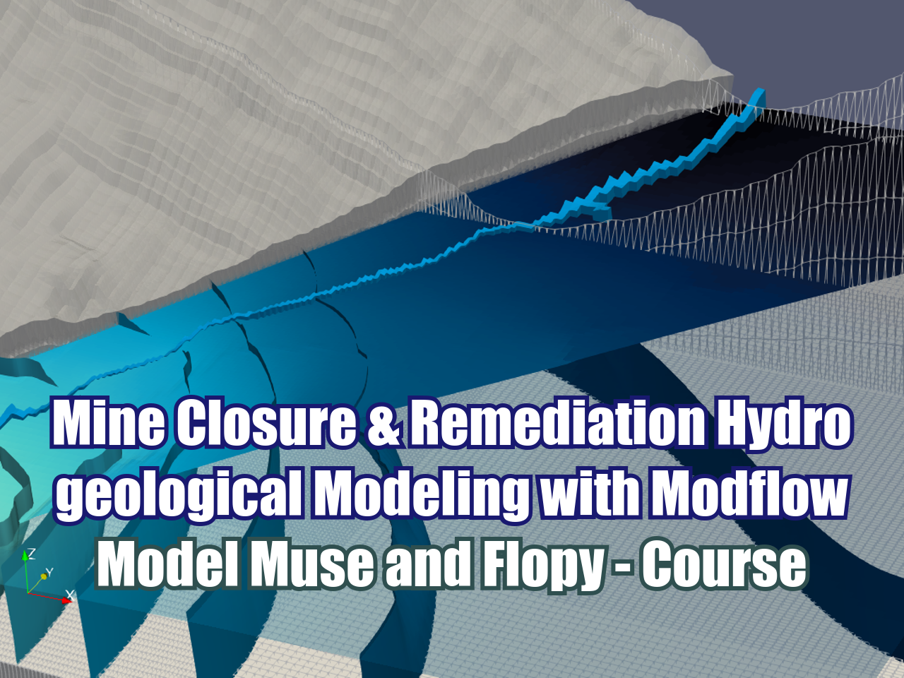


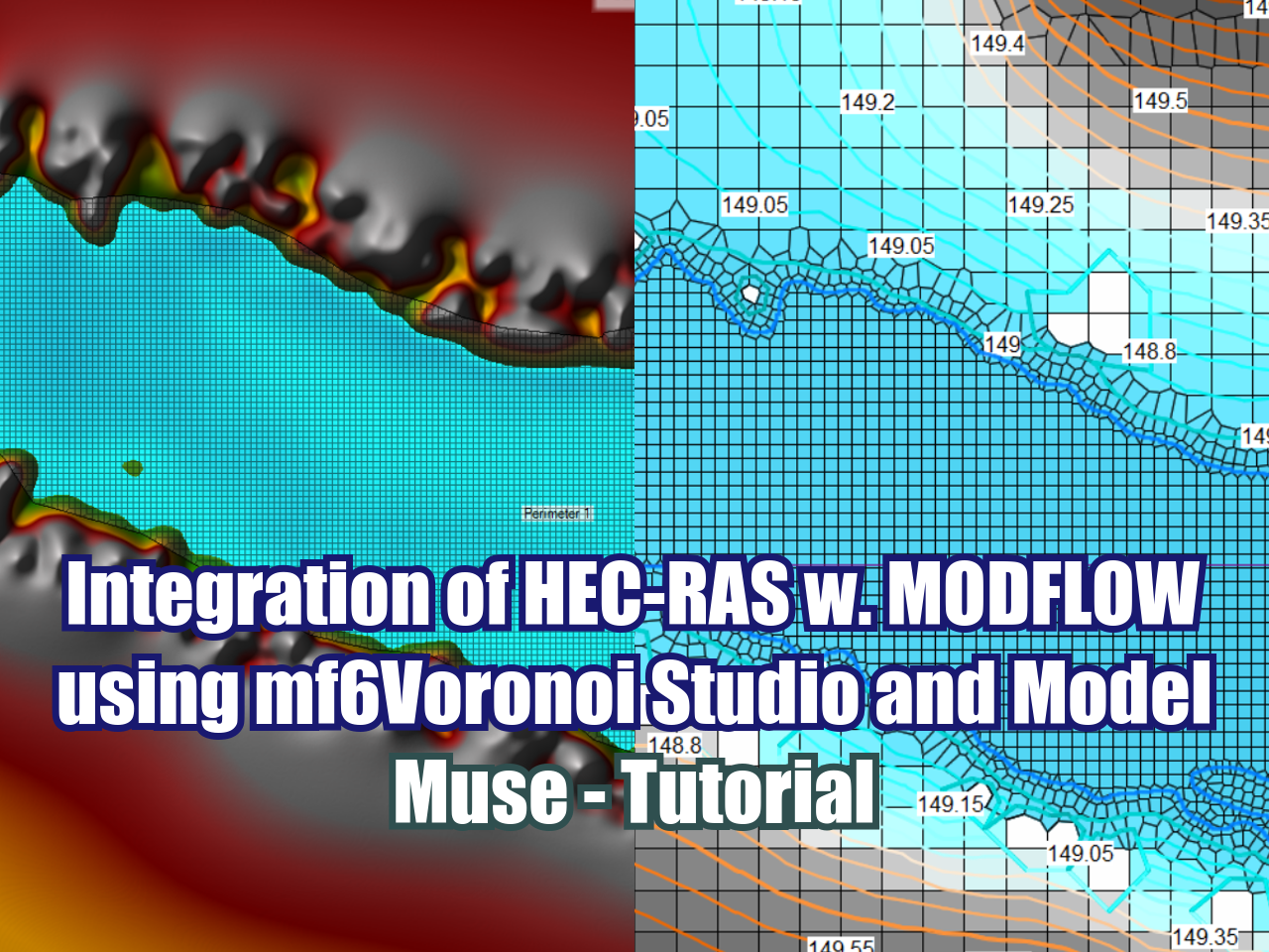
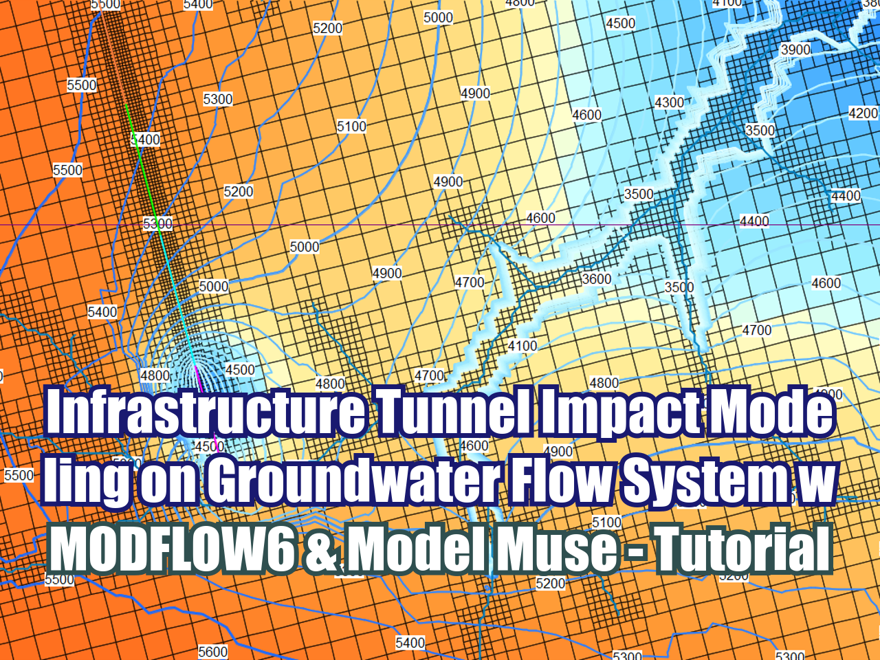
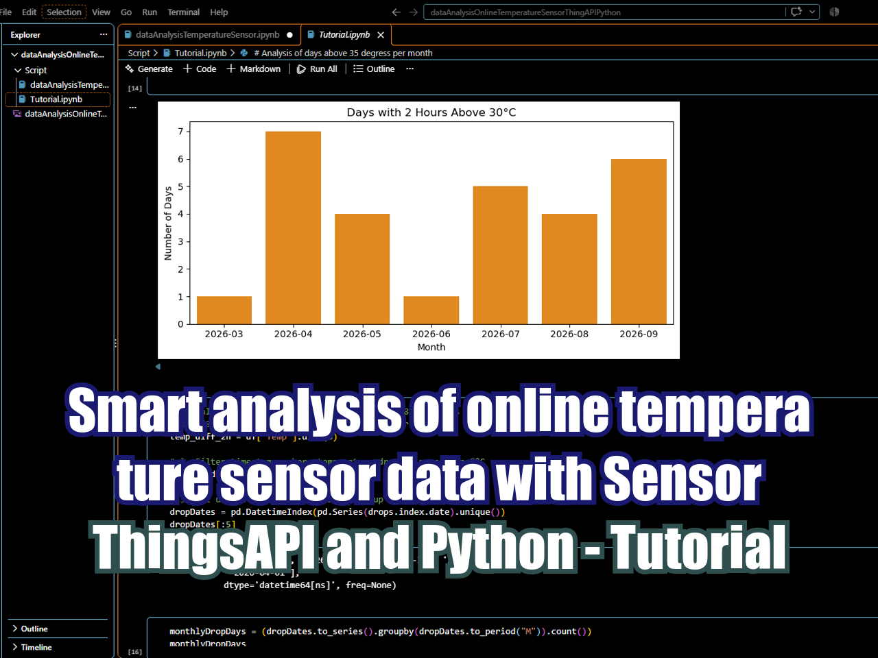
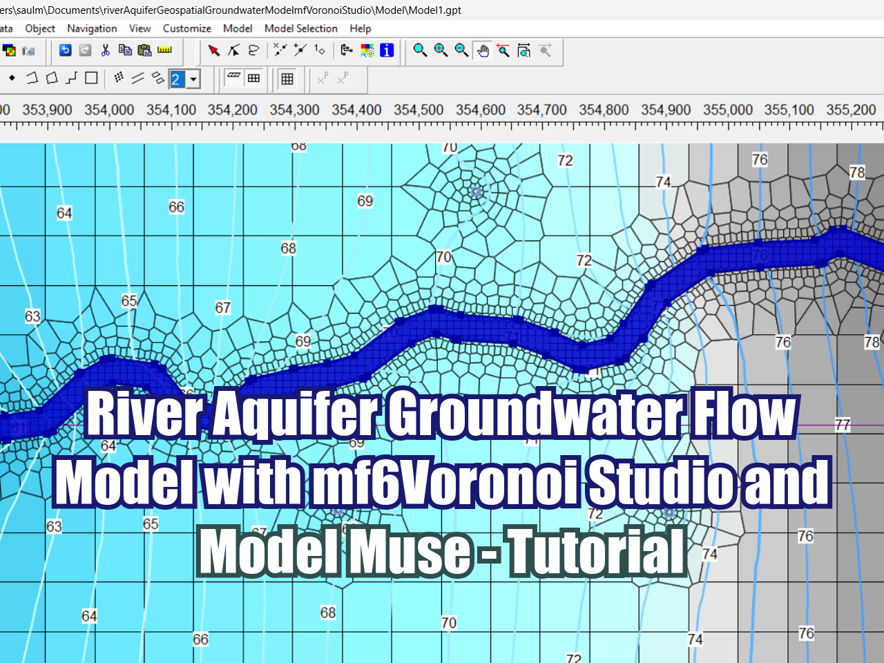
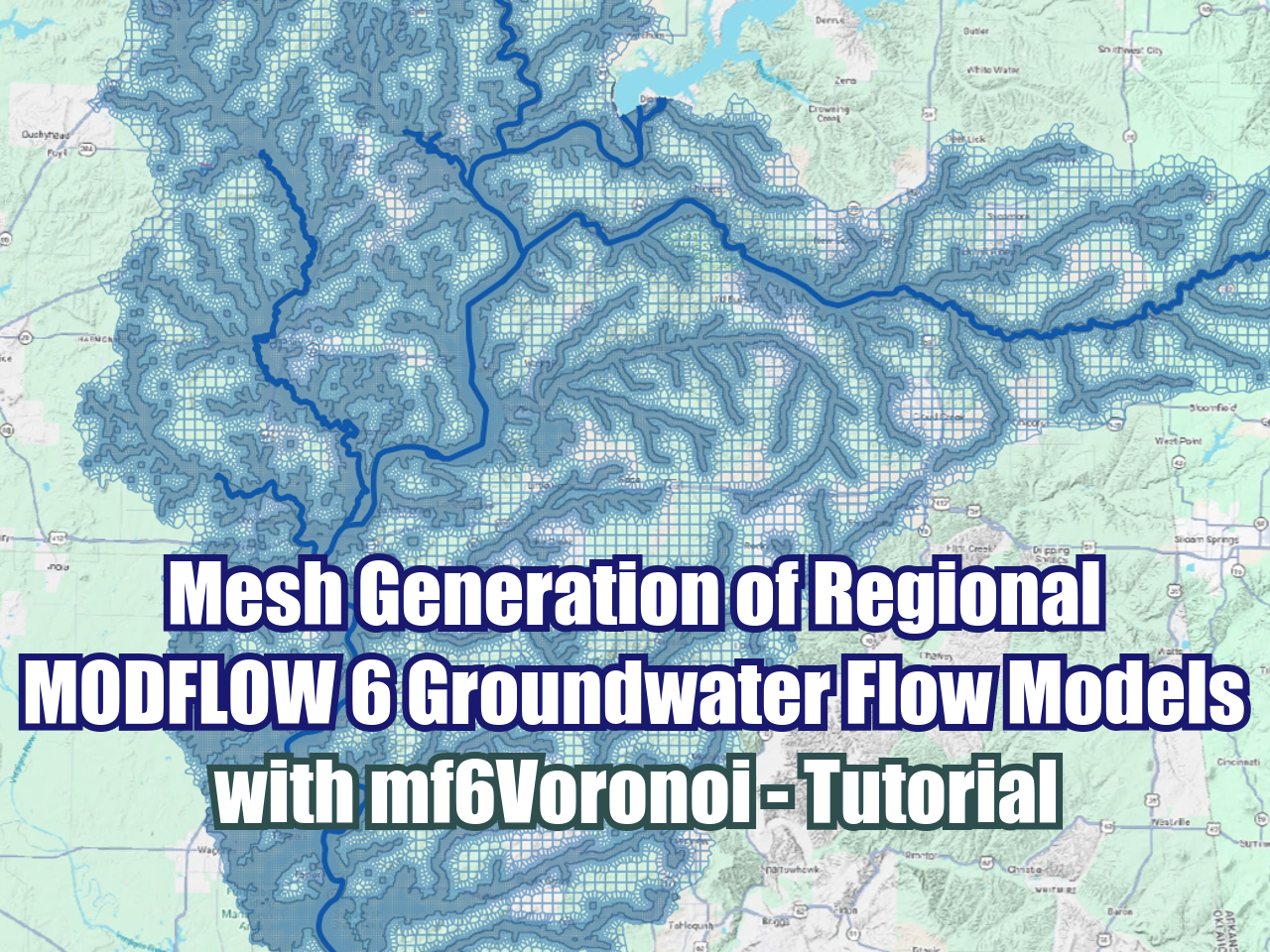





FloPy is the Python library that builds and executes MODFLOW models; this library has been enhanced to provide full support of MODFLOW 6 with most of its recent development is related to functionality for MODFLOW 6, tools to use vector and raster spatial data and common plotting and export functionality.