

How to create a Geospatial Raster from a projected Reservoir with Python and hatariTools - Tutorial
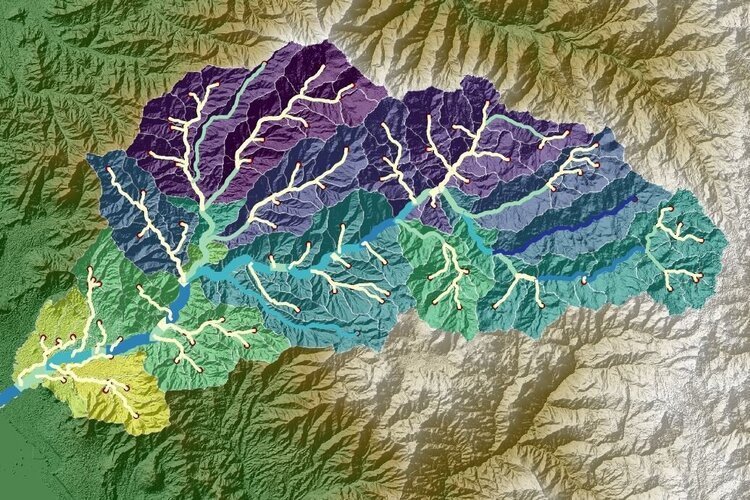
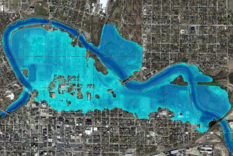
/The task to modify geospatial rasters considering future elements can be a complex task with the available GIS tools. We have optimized the way we can represent the surface of future (or current) water reservoirs on a fully geospatial raster. This tutorial shows the complete process to create a geospatial raster (TIF file) based on the contours from the dam and the reservoir extension.
Read More
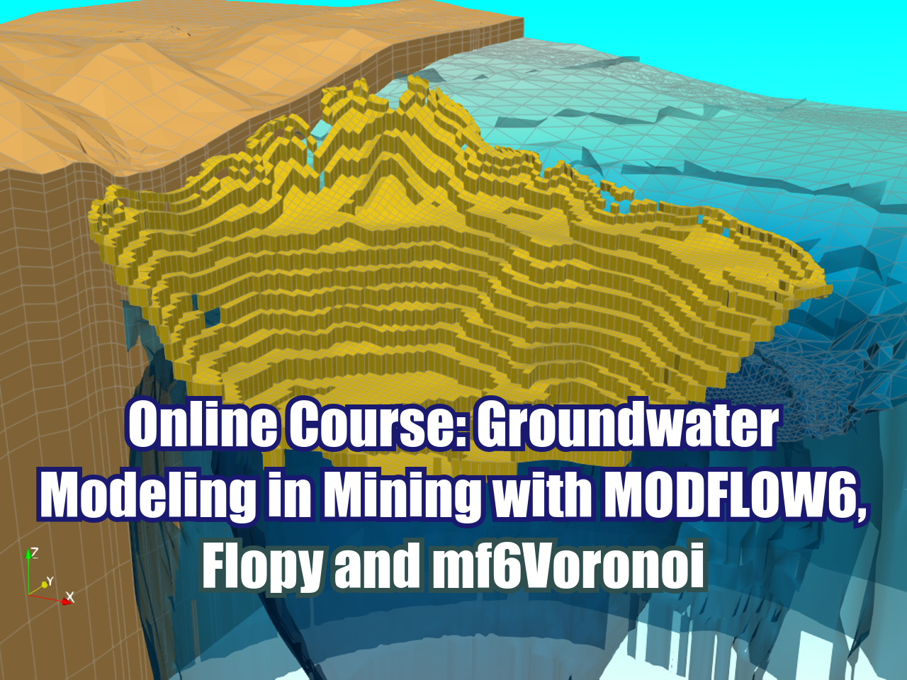
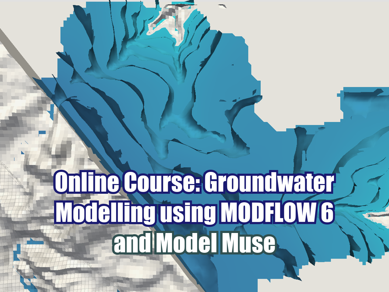


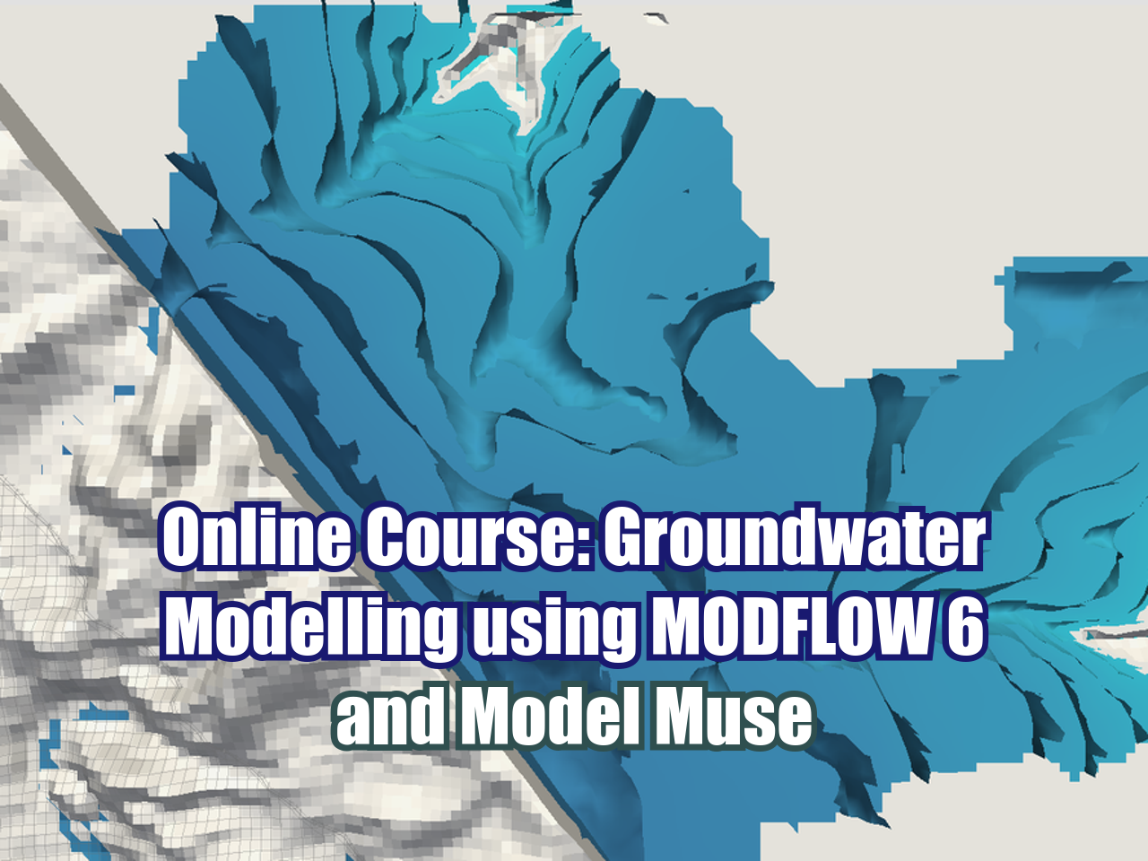


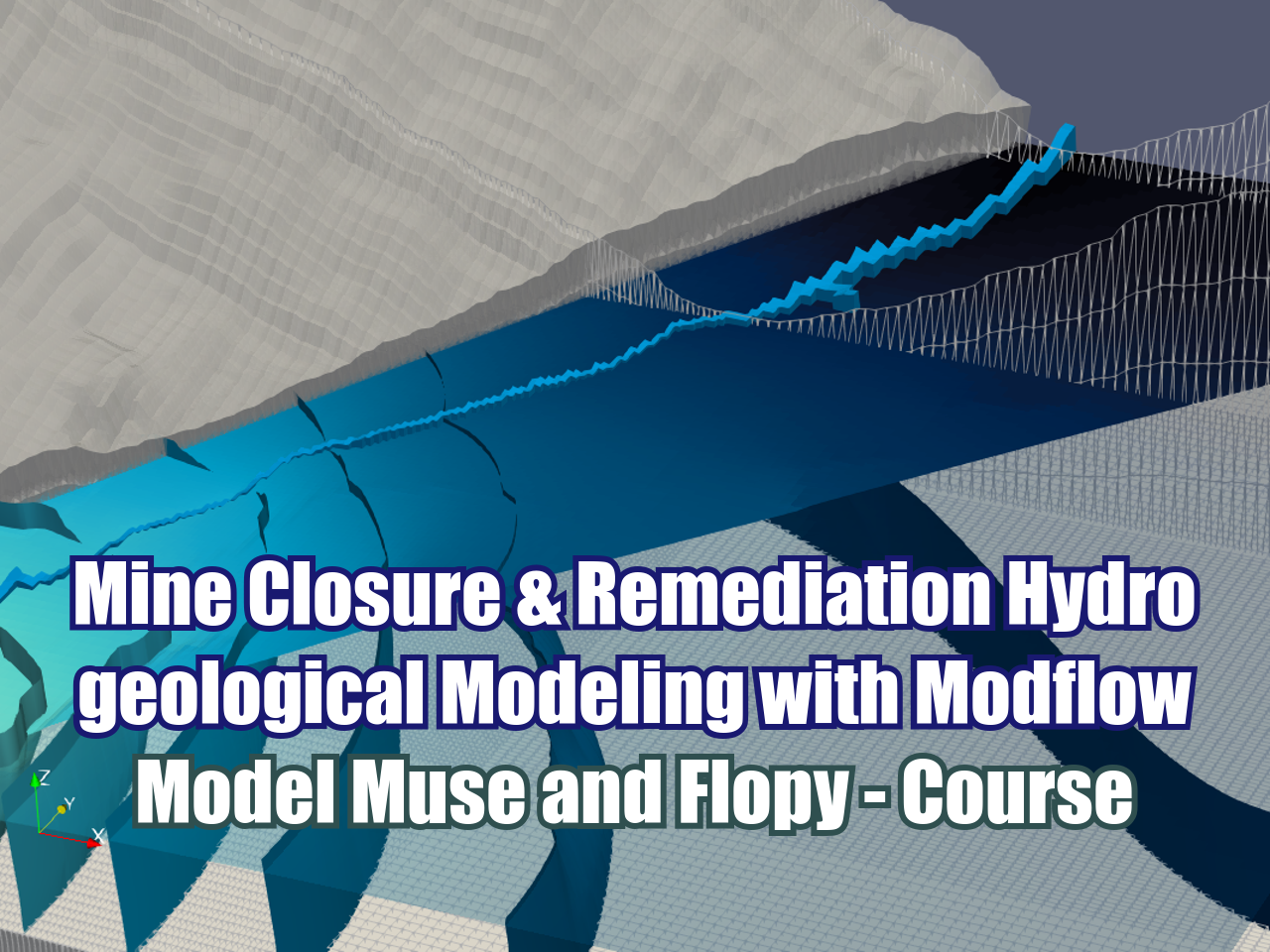


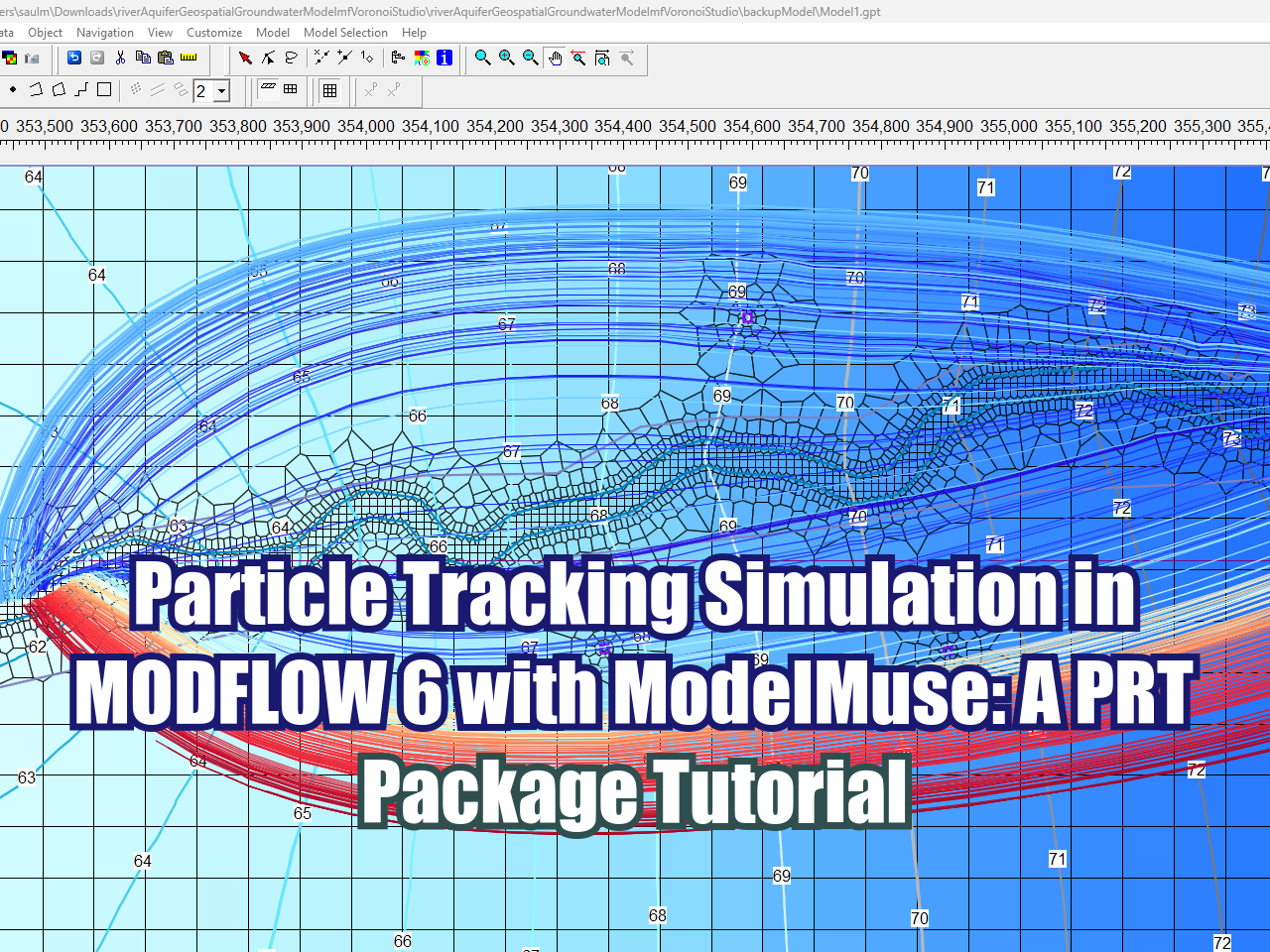





FloPy is the Python library that builds and executes MODFLOW models; this library has been enhanced to provide full support of MODFLOW 6 with most of its recent development is related to functionality for MODFLOW 6, tools to use vector and raster spatial data and common plotting and export functionality.