

Maps of Days without Rain generation with Python and Rasterio - Tutorial
/Water resurces management requires not only some direct values as precipitation amounts but also more elaborated data as days without rain. Based on the CHIRPS dataset for year 2022 stored on NetCDF format we have elaborated a map of days without rain for a given country and exported the results as a fully geospatial raster. There is a particular discussion about the data type and the data value to calculate and store value just for the selected location.
Read More

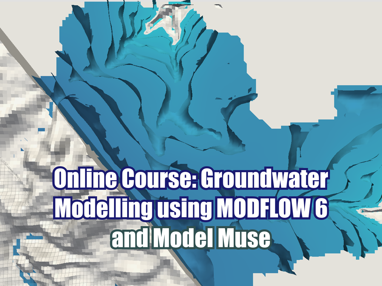
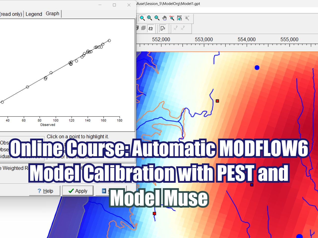













FloPy is the Python library that builds and executes MODFLOW models; this library has been enhanced to provide full support of MODFLOW 6 with most of its recent development is related to functionality for MODFLOW 6, tools to use vector and raster spatial data and common plotting and export functionality.