

Geospatial processing for a groundwater model in Model Muse in 14 minutes - Tutorial
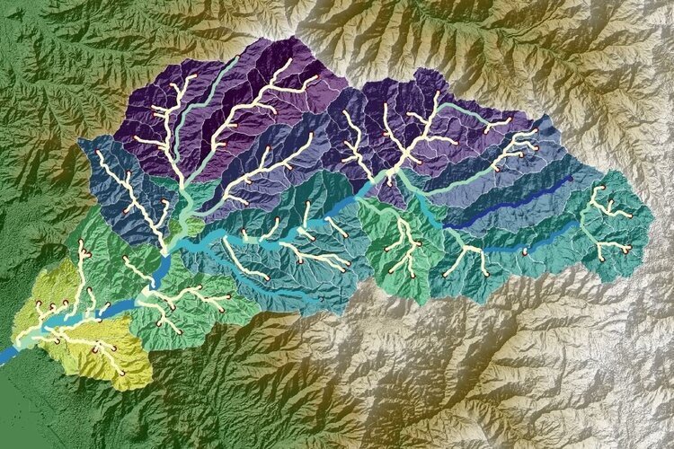
/Groundwater model creation requires a complete set of spatial data for the different hydraulic parameters, boundary conditions and other model items. Vector and raster data need to be preprocessed, converted, reprojected to fit the requirements of Model Muse.
This tutorial covers an applied case of raster and vector data processing for a basin.
Read More











FloPy is the Python library that builds and executes MODFLOW models; this library has been enhanced to provide full support of MODFLOW 6 with most of its recent development is related to functionality for MODFLOW 6, tools to use vector and raster spatial data and common plotting and export functionality.