7 tutorials of MODFLOW6 and mf6Voronoi for mine related groundwater modeling

Mining hydrogeology is one of the most challenging faces of hydrogeology since its evaluations are key components for the mine operation and where groundwater related decisions are needed on a short timeframe. We have developed a series of tutorials that will introduce general groundwater modelers to the specific tasks of mine hydrogeology. This tutorial selection starts from regional modeling and goes into inflow and contaminant transport with different levels of complexity.

Read More

Groundwater inflows to open pit modeling with faults of 1m using MODFLOW6 and mf6Voronoi - Tutorial

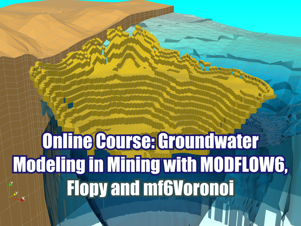
Applied example of the simulation of groundwater inflow to a open pit considering faults of 1 meter thickness. The model has 6 stress period, one steady state and 5 transient stress periods representing the pit development over 4 years of a total mine life of 20 years. The tutorial shows the complete process beginning from mesh creation, model construction, water budget analysis and 3d representation.

Read More

How to do a georeferenced Stiff Diagram with Python 3 and QGIS 3 - Tutorial

Stiff Diagrams are a common and powerful tool for the representation of surface water / groundwater main ions. Anion and cation concentrations are represented on equivalent weight (meq/l), and usually cations are represented at the left side and anions at the right side. Traditionally, this diagram is useful for the comparison of the main water chemical components by examination of a series of diagrams, however it was not easy to compare the diagrams with the position of the observacion point.

To enhance the chemical analysis on regional scale this tutorial has coupled the Stiff Diagrams with their position on a QGIS project. The diagramas are generated from a spreadsheet with Python on a Jupyter Notebook and stored a vector file (.svg), then the images files are referenced on a style file (.sld) and uploaded to QGIS3.

Read More

Inflow modeling to infiltration galleries with MODFLOW6 and mf6Voronoi - Tutorial

Infiltration galleries are a low cost and low maintenance option for domestic water supply. The amount of inflow water and the interaction with the water bodies are main concerns on the evaluation and design of infiltration galleries. We have done an applied case of inflow simulation to infiltration galleries with MODFLOW6 based on Voronoi meshes. The example covers all steps from mesh creation, steady state model construction, simulation of infiltration galleries and the inflow calculation per gallery group. Finally a 3D representation of the model geometry, boundary conditions and head distribution is performed on Paraview.

Read More

How to create a Geospatial Raster from a projected Reservoir with Python and hatariTools - Tutorial

The task to modify geospatial rasters considering future elements can be a complex task with the available GIS tools. We have optimized the way we can represent the surface of future (or current) water reservoirs on a fully geospatial raster. This tutorial shows the complete process to create a geospatial raster (TIF file) based on the contours from the dam and the reservoir extension.

Read More

Contaminant plume modeling of a mining waste rock dump with MODFLOW 6 and mf6Voronoi - Tutorial

This tutorial shows an applied case that covers the discretization of a model using Voronoi grids, taking into consideration the water network, the predictive flow area, and the model boundaries. Based on this mesh, a flow and transport model under steady-state conditions is constructed to simulate the contaminant plume over a period of 50 years, evaluated every 5 years. The model includes piezometers and the development of concentrations over time is evaluated using the Pandas library with Matplotlib. Finally, the entire model geometry, boundary conditions, hydraulic loads, and concentrations are visualized in 3D with Paraview.

Read More

Developing a regional groundwater model for a mine project with MODFLOW6 and mf6Voronoi - Tutorial

Sometimes regional models are required as an input for local models of flow and transport. This is an applied case of the groundwater modeling on the regional scale in the state of Guerrero, Mexico that will be the input for future local models of pit dewatering, and contaminant transport from the tailings dam and waste dump. The groundwater model is built with MODFLOW6 and mf6Voronoi on a series of Jupyter Notebooks and results are plotted with Paraview.

Read More

Implementation of Faults and Zone Budgets on a Open Pit MODFLOW 6 Voronoi Model - Tutorial

The interaction of faults with the groundwater flow regimen on an open pit is a challenge on the conceptualization and simulation. Having smaller cells on the faults alignment with higher K can represent the general behaviour of faults and this is possible to simulate with MODFLOW 6 Voronoi models with Flopy and mf6Voronoi package. We have created a tutorial that implements faults on the area of influence from an open pit and defines zone budgets for the pit and drainage network.

Read More

Geospatial Crop Recognition from Drone Orthophotos with Python and HatariTools - Tutorial

Spatial analysis and machine learning sometimes require massive coding in order to achieve decent results such as identifying plants from a drone orthophoto. We wanted to create a simple workflow for beginner and intermediate Python users to work with these libraries without much pain or frustration. This tutorial has the complete procedure to use a new Python package called hatariTools that recognizes plants from an orthophoto based on sample points and creates intermediate plots and identifies plants as point shapefiles.

Read More

Create 3D objects (Vtks) from a groundwater model in Model Muse with mf6Voronoi - Tutorial

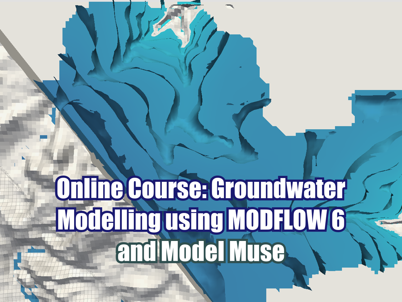
Model Muse is an awesome tool for groundwater model construction and output visualization, however its graphical capabilities are quite limited. Since we are always on the search of bringing groundwater model ‘close’ to the stakeholder, normal audience and coming generations, there is a special interest in providing complementary tools for the normal workflow with Model Muse and Modflow6 that allows the normal user to create awesome 3D objects representing:

Read More

Paraview and mf6Voronoi for Modflow 6 model 3D visualization - Tutorial

Because an image is worth a thousand words, and 3D visualization is key for explaining, sharing, and analyzing groundwater model parameters, boundaries and results. The Python package mf6Voronoi offers a structured workflow to generate 3D spatial files on VTK format for the representation of the model parameters, water table, head distribution and others that can be plotted on Paraview. This is an applied case of 3D representation for a andean basin groundwater flow model where we are going to explore the relevant tools and options of mf6Voronoi and Paraview.

Read More

Underground mine inflow modeling with MODFLOW6, Flopy and Mf6Voronoi - Tutorial

An applied example of modeling the development of underground mine works with time based on a Voronoi mesh MOFLOW 6 model. The case consists of 5 mine levels developed over 5 years that cross the underground water body at determined lengths. The numerical model is developed with Python, Flopy and Mf6Voronoi for spatial discretization, implementation of the boundary conditions based on geospatial data, model build/simulation and 3d representation on Paraview.

Read More

Accelerate MF6 Disv model creation using mf6Voronoi templates - Tutorial

You can work faster and have more time to analyze model results if the process of model creation takes less time. The design of the mf6Voronoi package is oriented to create an improved user experience by optimizing the options of mesh creation and by the implementation of Python script templates for meshing, model construction, and others. This is an applied case of groundwater modeling on a regional scale with Voronoi mesh built on MF6 Disv. The template can be easily customizable to other boundary conditions and will be the basis of coming tutorials and webinars.

Read More

Watershed and River Network Delineation from ESA GLO-30 elevations and Hatari Utils - Tutorial

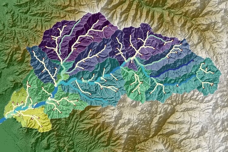
There is a new dataset from the European Space Agency (ESA) called Copernicous DEM (GLO-30) that has global coverage with raster resolution of 30m available to download from the Copernicous Dataspace. We have prepared an applied case to access this dataset, download and clip for an area of study and process it into Hatari Utils that provides the watershed and river network delineation on spatial format. The example also covers the options to determine the accumulation area and explore other outputs from the platform.

Read More

Regional groundwater flow modeling with Voronoi mesh on MODFLOW6 DISV and Flopy - Tutorial

This example develops a groundwater model in MODFLOW6 DISV that implements a Voronoi mesh generated from the basin boundary and river network with the mf6Voronoi packages that allow high performance meshing fully coupled with geospatial data. On the Voronoi mesh, the refinement levels are defined by a minimum cell size, maximum cell size and a multiplier. The applied case covers all steps on model discretization, construction, simulation and 2D visualization.

Read More