Calibration of groundwater flow models in mining
/Calibration of groundwater flow models in mining
Read MoreCalibration of groundwater flow models in mining
Read MoreSurface water and groundwater surrounding a mining operation can be significantly affected by contaminated seepage from the Acid Rock Drainage (ARD) in waste-dumps and tailing deposits. An evaluation for prevention and mitigation of environmental impacts generated by the DAR is necessary to minimize impact to the environment.
Read MoreThe MODFLOW SUB-WT code has been developed to simulate vertical compaction in regional groundwater flow models due to pumping.
MODFLOW SUB-WT can simulate changes in groundwater storages and compaction in discontinuous layers or extensive confining units. The MODFLOW SUB-WT modeling code considers the compaction of a particular layer of the numerical model as a function of effective effort changes in the layer.
Read MoreAfter my last job as a staff groundwater modeler, I have received 6 unsolicited job offers. Of course many modelers with more years and more conections than I, have received much more offers, however, I feel happy with my humble record. The point of this comparison is that senior groundwater modelers with experience in mining hydrogeology are really scarce. Mining and consultant companies are looking for talented groundwater modelers, and somehow there are not much modelers coming out from the universities.
Read MoreWhen I was in second semester of my master degree, the course director gave me this advice: “Learn MODFLOW and you will have a job”. That was a small and sincere advice that helped me on the last eight years as hydrogeologist – numerical modeler. Nowadays, I want to give the guidelines for people interested in how to be a senior hydrogeologist in 6 years.
Read MoreMODFLOW is the groundwater modelling software developed by the U.S. Geological Survey (USGS). It appeared in 1984 and has had a constant developement till now. MODFLOW’s capacities allow the representation of regional or local groundwater flow and its interaction with superficial water bodies.
Read MoreBefore talking about the different researches that have had as main focus water resources, I think it is necessary to explain first what geostatistics is.
Geostatistics is a type of statistics that is used to analyze and interpret geographically referenced data. It is not restricted to work only with point data, it also works with GIS layers to explore spatial variation, improve generation of digital elevation models (DEM) and their respective simulations, optimize spatial sampling, etc. [1]
Read MoreSince an homogenous aquifer was modelled, there is an interest in comparing the results with an analytical solution. Some formulas give the drawdown value into the well for a steady flow in confined and unconfined aquifers that are homogeneous, isotropic and infinite in the horizontal extent with a single full penetrating well.
Read MoreMODFLOW is a software for groundwater modeling developed by the USGS. The software is capable of representing conditions related to groundwater flow such as evapotranspiration, recharge, drainage, river interaction among others. Its finite different approach gives the capability to calculate the flow regime with exceptional control on water budget discrepancy. With MODFLOW one can rely on that the flow going in the model is the same as the flow going out of it, from the regional scale and on cross sections.
Read MoreThe concept of a groundwater regime is based on the fact that the occurrence and distribution of groundwater is not merely a product of chance, but the result of a combination of climatic, hydrologic, geologic, topographic and soil-forming factors that together form an integrated dynamic system. These factors are interrelated in such a way that each provides some insight into the functioning of the total system and thus serves as an indicator of local conditions of groundwater occurrence and distribution (PAEL, 1993).
Read MoreImpact assessment of mining projects on groundwater resources can be a challenging task due to uncertainty on groundwater flow regime, the complex numerical tools to successfully simulate stresses on groundwater resources posed by the mining projects, timeframe and budget of EIAs.
In this article, we will call EIA the document issued before the mine begins for regulatory official approval and social license.
Read MoreA monitoring system is a platform where level and quality records that describe groundwater resources are generated, made available and evaluated. These records are consistent, representative and long lasting. Managing the aquifer to local or regional level is required in order to have environmental managers with easy access for comprehensive, representative and reliable information.
Read MoreQuick tutorial to download Land Cover imagery from the Nasa Echo Reverb repository
Read MoreQuick tutorial for the simulation of a contaminant plume from a waste dump
Read MoreQuick tutorial to plot concentrations, generate contours and make ilustrations.
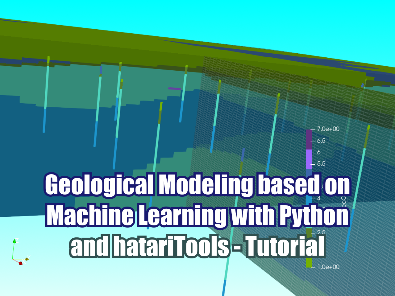
Read MoreQuick tutorial for the numerical modeling of groundwater flow regime for an andean basin.
Read MoreQuick tutorial to download Time Acumulated Precipitation from TRMM and IMERG
Read MoreTutorial to determine Elevation and Precipitation of Subbasins on QGIS
Read MoreTutorial to estimate Rainfall for a given Return Period with Python
Read MoreThis tutorial cover the following topics:
Open tables in SAGA GIS
Convert to points
Assign SRC / Spatial Reference: 32718
Ordinary Krigging of HCO3-

ONLINE COURSES:
LATEST POSTS
SEARCH


 |
 |
 |
 |
 |
 |