

Geological modeling of sedimentary layers from geospatial rasters with Python and Gempy - Tutorial
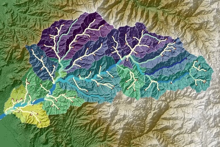
/Based on a coupled workflow on QGIS and Python it is possible to extract the required information for a Gempy model and run it for defined voxel sizes. This tutorial covers the whole procedure of spatial data preparation, data preprocessing in defined formats and geological modeling with Python and Gempy.
Read More
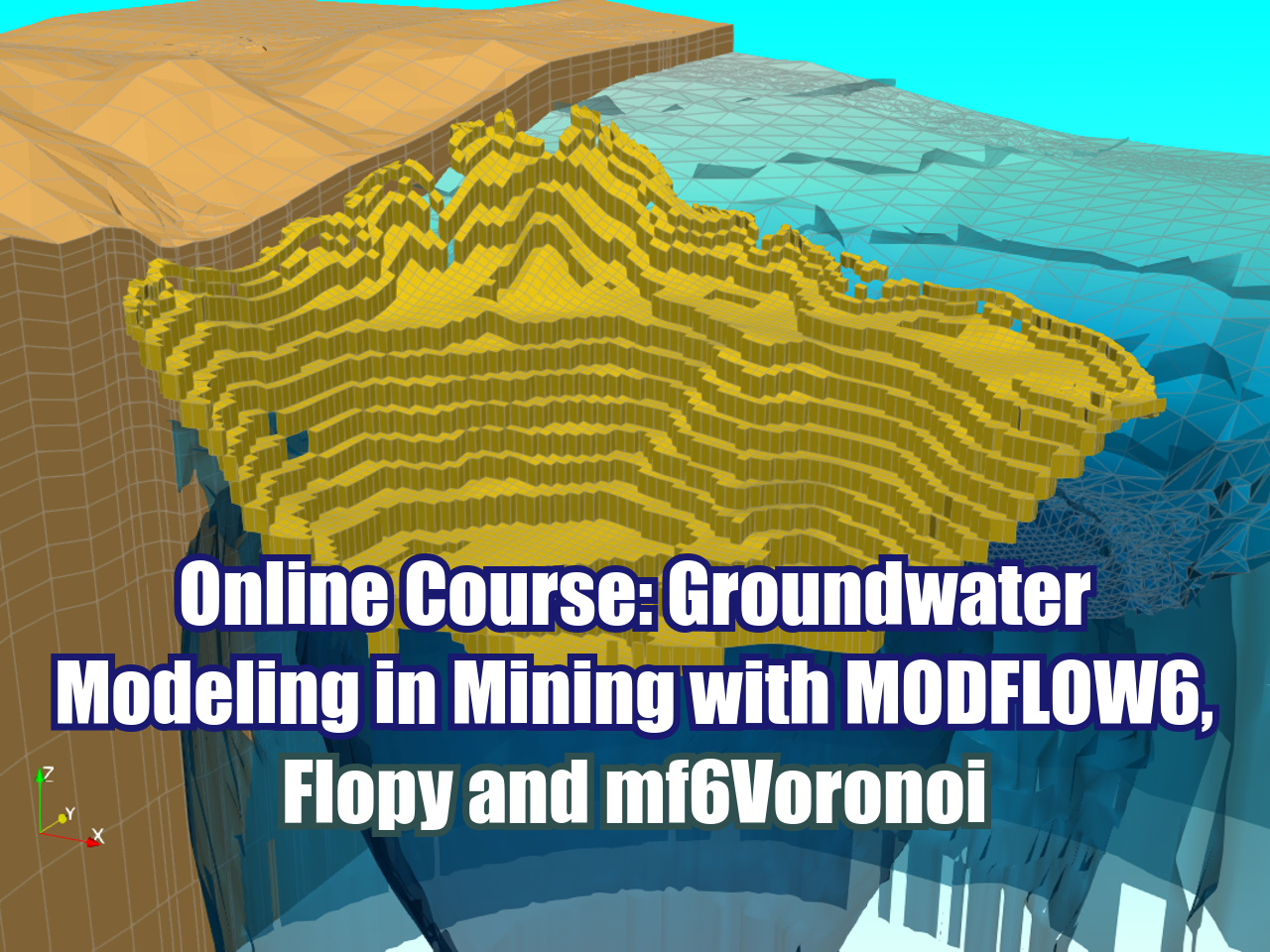
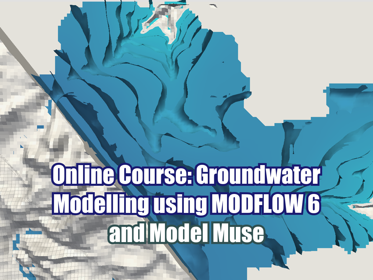
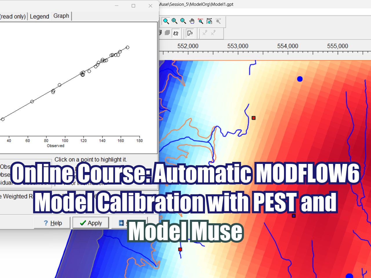






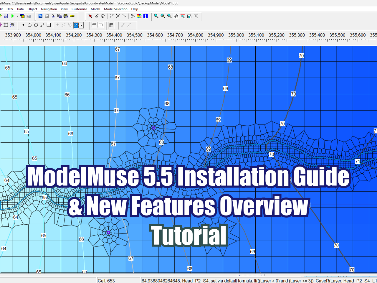
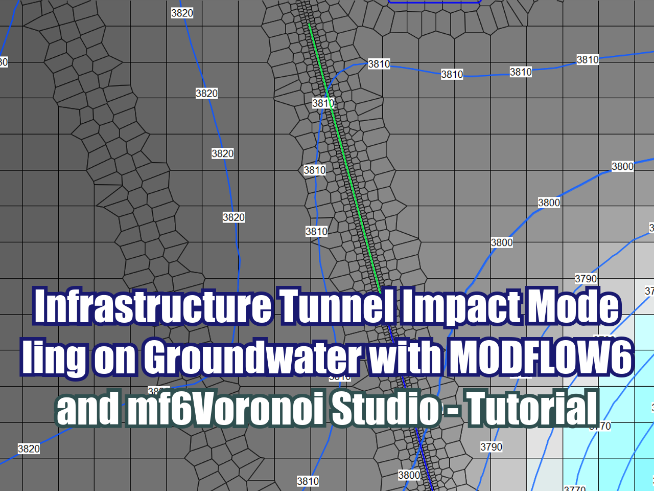
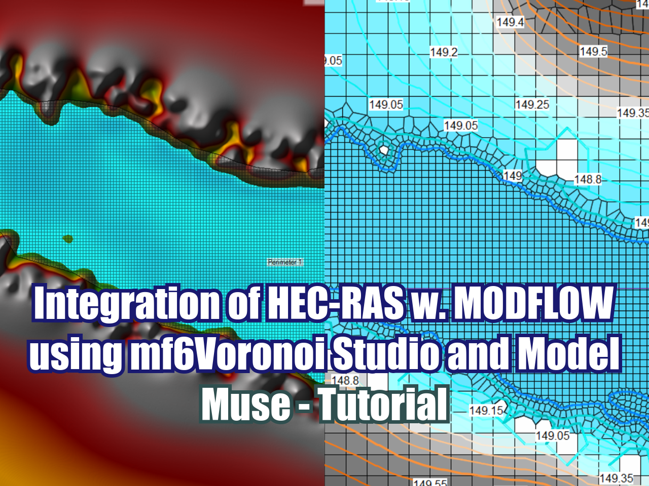
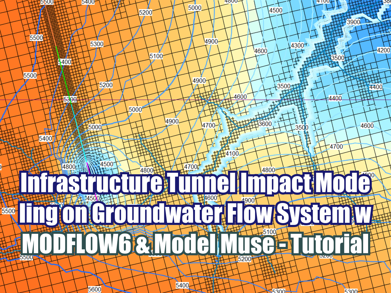





FloPy is the Python library that builds and executes MODFLOW models; this library has been enhanced to provide full support of MODFLOW 6 with most of its recent development is related to functionality for MODFLOW 6, tools to use vector and raster spatial data and common plotting and export functionality.