

Modeling Hydrogeological Units from Raster Data with Aquifer App and Gempy - Tutorial
/Construction of complex and high performance groundwater modes requires an appropriate distribution of the hydrogeological units with depth. We have developed an applied case of 3D modeling of hydrogeological units from data provided as raster (*.tiff) files. The webinar all steps from orientation and elevation sampling from raster data, the conceptualization and setup of the Gempy model in Aquifer App and finally the postprocessing of the 3D lithology based on the surface elevation. The input data comes from the USGS research on the aquifer Systems in the Williston and Powder River Structural Basins, United States and Canada.
Read More
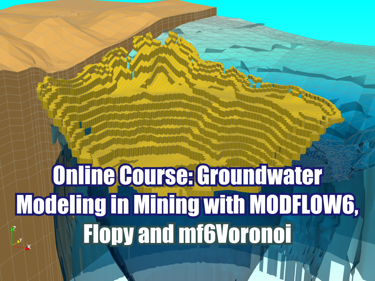











FloPy is the Python library that builds and executes MODFLOW models; this library has been enhanced to provide full support of MODFLOW 6 with most of its recent development is related to functionality for MODFLOW 6, tools to use vector and raster spatial data and common plotting and export functionality.