

How to create a MODFLOW 6 model from geospatial data with Python and Flopy - Tutorial
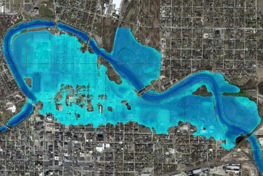
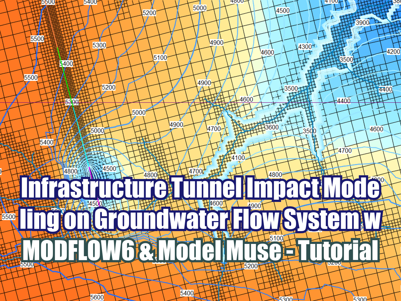
/We have developed an applied case of groundwater model discretized from ESRI Shapefiles with refinement areas. Boundary conditions are also set up from spatial data with the intersect functionality of Flopy. Model surface and layer bottom are imported / processed from xyz point data. The simulation is run for one steady and ten transient stress periods and results are plotted for head on aerial view and cross section.
Read More











FloPy is the Python library that builds and executes MODFLOW models; this library has been enhanced to provide full support of MODFLOW 6 with most of its recent development is related to functionality for MODFLOW 6, tools to use vector and raster spatial data and common plotting and export functionality.