Coupling local geological data into Model Muse with Python and Aquifer App - Tutorial

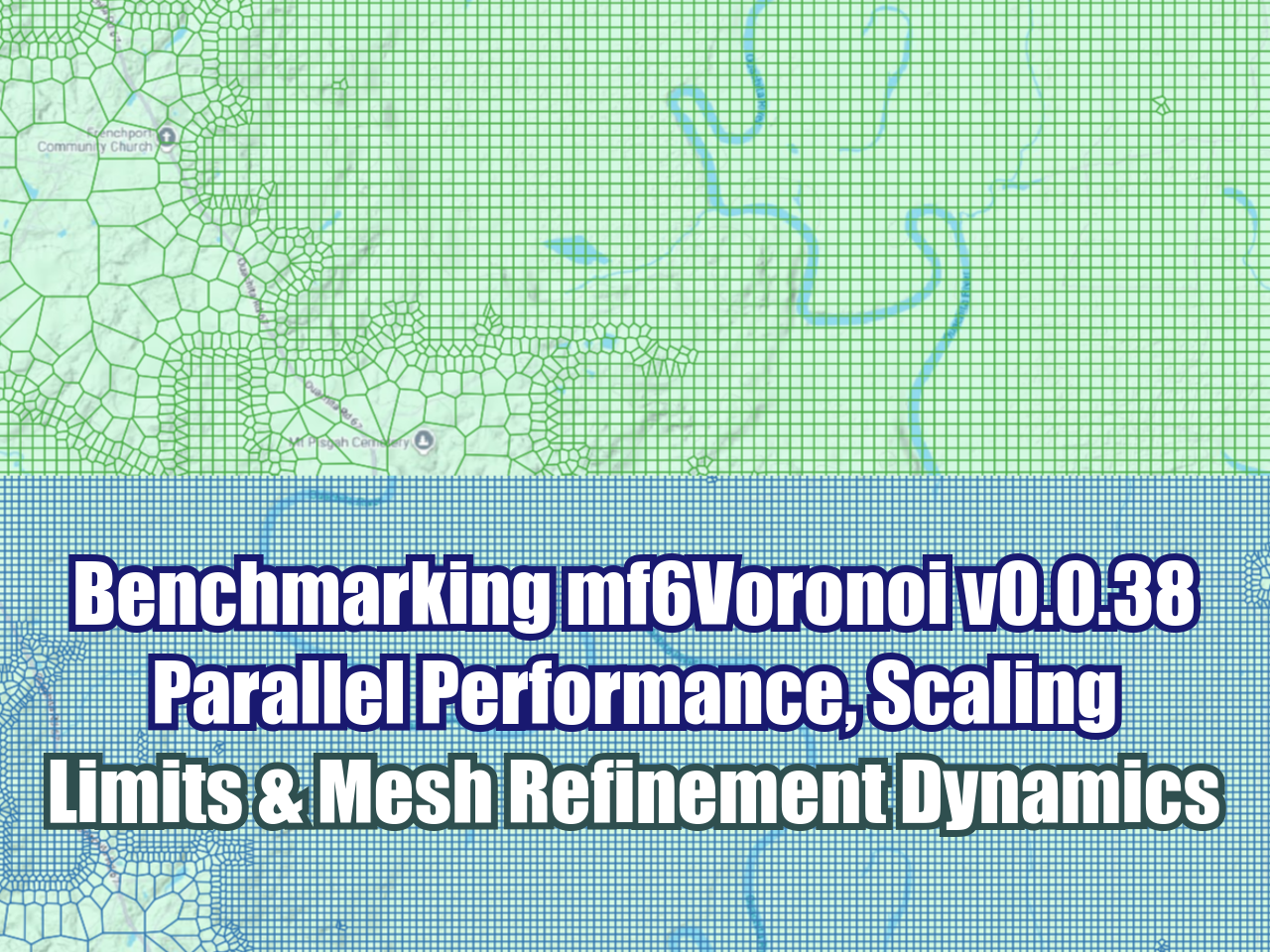
Spatial discretization for a mine related groundwater model has to come from geospatial data that has a system of reference (crs). The latest version of Modflow that is Modflow 6 implements the discretized by vertices option (DISV) that allows the creation of triangular, quadtree, voronoi meshes among other options. We have developed some Python scripts to create voronoi meshes from shapefiles where the user has to define a limit polygon, layers (point, line or polygon) and refinement levels. The code generates meshes with adequate performance and gives geospatial output for the final voronoi mesh as well as the intermediate steps.

Read More


Open, modify, run, and read output from HEC-RAS models with Python - Tutorial

Python can communicate with other softwares through standards in Windows (COMs) and thus provides a higher level of interoperability for river flow models made in HEC-RAS. The amount of tools provided by HEC-RAS through the COM is huge; in this tutorial we will cover some examples of HEC-RAS model interaction for two applied cases from Python scripts in Jupyter Lab.

Read More

How to create a Geological Model from a Point Shapefile with Gempy and Aquifer App - Tutorial

This is an applied case were we build a geological model only with lithology information stored as a point shapefile. The tutorial covers all steps from raster (array) generation for all surfaces together with the orientation sampling and format of surfaces/orientations as Gempy input files. The generated data was inserted in the Aquifer App that implements an interface to create Gempy models. Finally the lithology and layer surface geometry was exported as Vtk to be represented on Paraview with the initial data to evaluate the accuracy of the simulation.

Read More

Geological modeling of a petroleum system with Gempy, Gemgis and Aquifer App - Tutorial

Aquifer App offers a friendly, clean and powerful way to create Gempy scripts for geological modeling. We have developed an applied case of a 3D petroleum system model for a part of the Williston Basin, USA that contains the Nesson Anticline. Top layer information was provided as raster format where elevation and orientation for random points were extracted with Python codes using the Gemgis package and exported in Gempy input file format. On Aquifer App the processed CSV files were inserted and the geological model was set up with the corresponding geological sequence. 

Read More

NetCDF for water resources with Python for dummies (CHIRPS dataset) - Tutorial

NetCDF has become a popular choice for storing and delivering precipitation and water resources related data. Its capacities to store multiple geospatial raster layers over time allow another level of abstraction on data analysis, however the format is of limited use on normal desktop applications and most times we are required to use a programming language such as Python or R.

Read More

Export 3d Geological Units as Vtk format with Gempy and Aquifer App - Tutorial

Aquifer App offers a friendly, clean and powerful way to create Gempy scripts for geological modeling. The platform also allows users to run the scripts and download the whole modeling project that has the 3D geometry of the geological units and faults in Vtk format. This tutorial shows an applied case of geological data visualization, model creation, model run, export and representation of the Vtk files in Paraview.

Read More

Regional geological modeling with surface topography with Gempy and Aquifer App - Tutorial

The coupling of Python scripts with the Aquifer App platform allows us to generate geological models with a versatility not seen before. This is a basic example of regional geological modeling in Aquifer App with surface topography from a digital elevation model in TIF format. The tutorial also makes a 3D representation of the contacts and orientations of the one layer geology in a Jupyter notebook for better analysis of the geological sequence.

Read More

Geological modeling of a recumbent fold with Gempy and Aquifer App - Tutorial

The coupling of Python scripts with the Aquifer App platform allows us to generate geological models with a versatility not seen before. This is a basic example of geological modeling of an recumbent fold in Aquifer App that can create models using Gempy. The tutorial also makes a 3D representation of the contacts and orientations of the layers in a Jupyter notebook for better analysis of the geological sequence.

Read More

Flood simulation from direct rainfall with Python and Landlab - Tutorial

Simulation of direct precipitation events over a surface is important to assess the impacted areas and manage disaster situations. Response to precipitation is evaluated over cells in a 2D model and runoff is routed to the stream networks. Landlab is a Python library for a variety of surface processes and can model shallow water flow over topography with a variety of algorithms. We have developed an applied case of direct rainfall for flood modeling over a geospatial raster where an initial water height is applied and then flows over the surface. Resulting water heights are exported as geospatial rasters.

Read More

Geological modeling of an anticline structure with Gempy and Aquifer App - Tutorial

The coupling of Python scripts with the Aquifer App platform allows us to generate geological models with a versatility not seen before. This is a basic example of geological modeling of an anticline structure in Aquifer App that can create models using Gempy. The tutorial also makes a 3D representation of the contacts and orientations of the layers in a Jupyter notebook for better analysis of the geological sequence.

Read More

Simplify / densify stream network online with Hatari Utils - Tutorial

Watershed delineation and stream network determination are common tasks on the hydrological analysis for any area of interest. There is a parameter on the stream network determination that allows us to have simple stream networks that resemble the main water courses or dense stream networks that map all the permanent / temporary streams. This is an applied example of  stream network determination on our online platform Hatari Utils where you can specify the number of upstream cells and interactively review the result.

Read More

Geological modeling of horizontal sedimentary layers with Gempy and Aquifer App - Tutorial

The coupling of Python scripts with the Aquifer App platform allows us to generate geological models with a versatility not seen before. This is a basic example of geological modeling of two horizontal layers in Aquifer App that can create models using Gempy. The tutorial also makes a 3D representation of the contacts and orientations of the layers in a Jupyter notebook for better analysis of the geological sequence.

Read More

Geospatial processing for a groundwater model in Model Muse in 14 minutes - Tutorial

Groundwater model creation requires a complete set of spatial data for the different hydraulic parameters, boundary conditions and other model items. Vector and raster data need to be preprocessed, converted, reprojected to fit the requirements of Model Muse. 

This tutorial covers an applied case of raster and vector data processing for a basin.

Read More

Watershed delineation for basins containing internal lakes / reservoirs with Hatari Utils - Tutorial

Hydrological basins could have a diversity of shapes due to the morphology and it´s a challenge to have a process that can delineate basins with different characteristics in a short amount of time. Hatari Utils is an online platform for hydrogeological analysis that has a tool for basin delineation, in this tutorial we have tested the capabilities of Hatari Utils to delineate a basin that has an internal lake.

Read More

Modeling Brine Density vs Concentration Regression Lines with Phreeqc and Aquifer App - Tutorial

Complex geochemical simulations are entirely possible to be performed with Phreeqc coupled with Aquifer App and Python. Brines can be simulated at different concentrations to obtain relations that are input of other variable density flow models. In this case we have model one brine, sodium bicarbonate, with the REACTION keyword with moles values that range from 0.5 to 12 moles. Values of mass, volume, concentration, and density were processed in Python from the dataframes generated from Aquifer App.

Read More

Simulation of water evaporation with Phreeqc and Aquifer App - Tutorial

We define evaporation as the process of removing water from the chemical system in Phreeqc and this can be achieved with the REACTION keyword and a negative reaction coefficient. We have developed an applied case of water evaporation from precipitation water and the mix of the resulting water to restore the original volume. The whole Phreeqc setup, simulation and result analysis process has been in Aquifer App.

Read More

Maps of Days without Rain generation with Python and Rasterio - Tutorial

Water resurces management requires not only some direct values as precipitation amounts but also more elaborated data as days without rain. Based on the CHIRPS dataset for year 2022 stored on NetCDF format we have elaborated a map of days without rain for a given country and exported the results as a fully geospatial raster. There is a particular discussion about the data type and the data value to calculate and store value just for the selected location.

Read More

Introduction to Python and Geopandas for Flooded Area Analysis - Tutorial

Geopandas is one of the most advanced geospatial libraries in Python because it combines the spatial tools of Shapely, it can create and read different OGC vector spatial data, it can couple the Pandas tools to manage, filter, and make operations over the columns of the metadata, it has the capability to plot geospatial data on Matplotlib and even to Folium among other features. We have developed a tutorial of Geopandas applied to the analysis of flooded areas over the Boise city for a return period of 200 years; the tutorial covers introductory concepts of Geopandas, it will work with point, line and polygon vector data, create plots, simplify vertices and perform geospatial queries over inundated facilities and highways.

Read More

Could you delineate a watershed and river network in 52 seconds? - Tutorial

Delineation of watershed and river network is one of the most common tasks in modern hydrology but it might comprise a group of steps on a desktop software that take several minutes to perform. We wanted to recreate the process in an mostly automated workflow in an online platform that substantially reduces the amount of time involved in the process. 

We came up with a solution on Hatari Utils (utils.hatarilabs.com) that allows us to delineate a basin of 530 km2 in just 52 seconds. Results from the platform also include the river network and the main river and are available as geospatial ESRI shapefiles.

Read More